

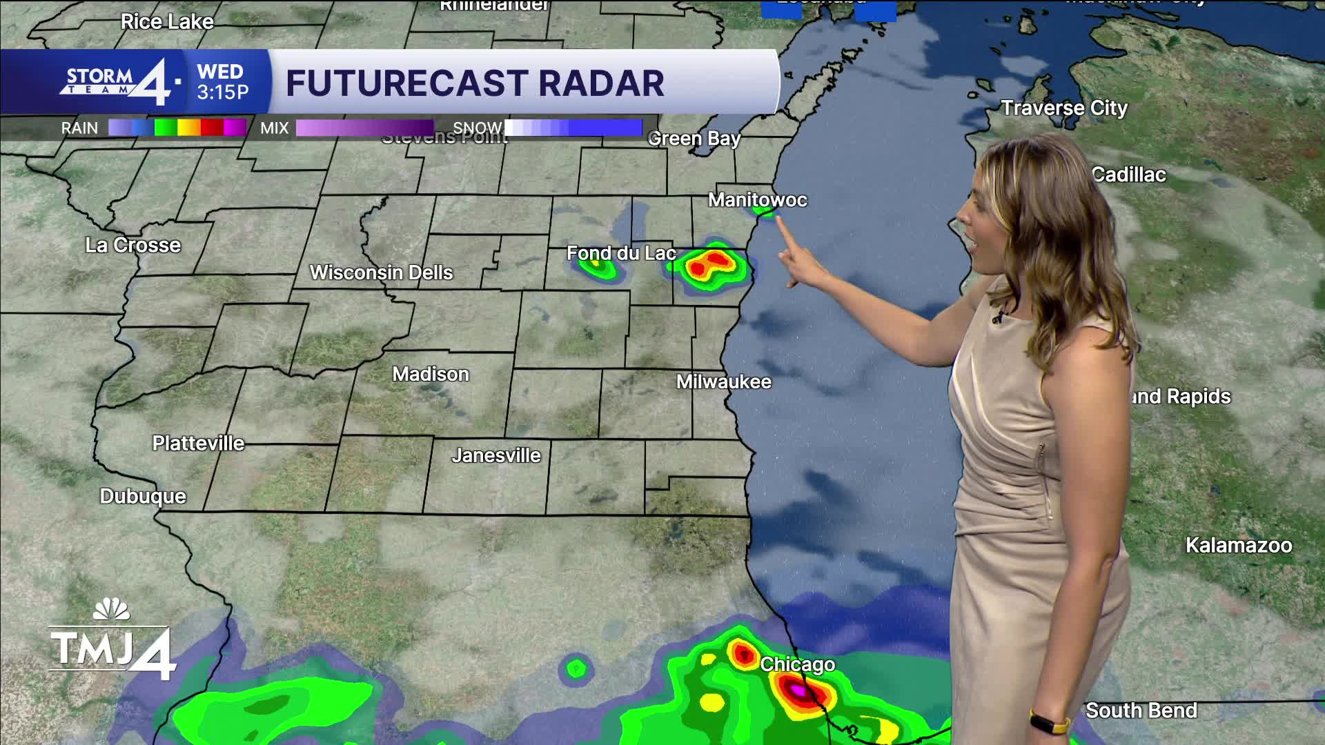


After strong storms stretching from Illinois to Ohio earlier today - producing winds up to 100 mph, we calm down through the evening with partly to mostly cloudy skies. Temps drop to the upper 60s overnight and it'll be muggy.
Wednesday features storm chances near the state line in the afternoon and evening, but the worst of it likely stays south, with an isolated pop-up possible. Highs near 81.
WATCH: When you might need the umbrella
Thursday has the highest likelihood of rain with a batch of showers and storms mid-morning. Highs are in the upper 70s with high humidity.
Friday is the pick day of the week with the coolest temperatures (highs in the low 70s) with dews finally dropping. Expect partly cloudy skies and a light breeze off the lake.
The weekend has storms back in the forecast (not a washout) with humidity rising once more. Highs in the upper 70s.
HERE'S YOUR LATEST STORM TEAM WEATHER FORECAST FOR MILWAUKEE
AND SOUTHEASTERN WISCONSIN BY METEOROLOGIST BRENDAN JOHNSON
TUESDAY: Chance Midday Showers/Storms; Mostly Cloudy
High: 78
Wind: SE 5 mph
TONIGHT: Patchy Fog; Partly Cloudy
Low: 68
Wind: SE 5 mph
WEDNESDAY: Chance Showers/Storms; Partly Sunny
High: 80
THURSDAY: Slight Chance Showers/Storms South; Partly Cloudy
High: 78
FRIDAY: Mostly Sunny
High: 73
SATURDAY: Chance Showers/Storms; Mostly Cloudy
High: 74
It’s about time to watch on your time. Stream local news and weather 24/7 by searching for “TMJ4” on your device.
Available for download on Roku, Apple TV, Amazon Fire TV, and more.
