



Friday features clouds to sunshine today - after a few overnight sprinkles. We start a tad warmer in the mid and upper 50s, and graduate to the mid 60s in the afternoon. Sunshine will be on the increase through the day with SE winds up to 10 mph. Temps may get closer to 70 further away from the lake.
The weekend is looking cordial with mid and upper 60s, SE winds and partly cloudy skies.
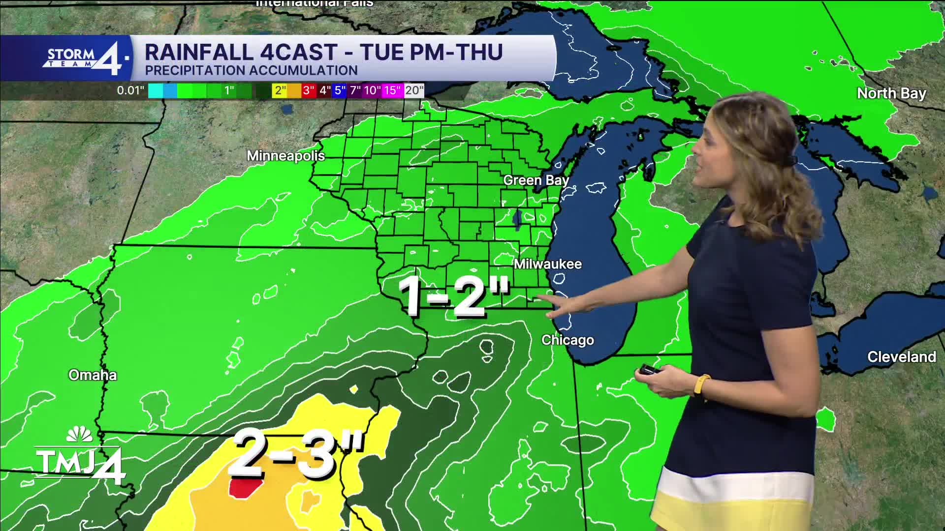
Next week, highs for the first half of the week are close to 70 degrees, with a weather system slated for Tuesday evening into Wednesday. This likely brings the return of showers and a few thunderstorms back to the area as we head into an active pattern.
HERE'S YOUR LATEST STORM TEAM WEATHER FORECAST FOR MILWAUKEE
AND SOUTHEASTERN WISCONSIN BY METEOROLOGIST LINDSEY SLATER.
TODAY: Sprinkles to sun
High: 65
Wind: SE 5-10
TONIGHT: Clear skies.
Low: 56
Wind: SE 5-10
SATURDAY : Partly cloudy.
High: 66
Wind: SE 5-10
SUNDAY: Partly cloudy.
High: 66
Wind: SE 5-10
MONDAY: Mostly sunny and warmer.
High: 68
Wind: SE 5-10
TUESDAY: Warmer, showers late
High: 70
Wind: SSE 10-15
WEDNESDAY: Early showers
High: 70
Wind: SW 10-15
It’s about time to watch on your time. Stream local news and weather 24/7 by searching for “TMJ4” on your device.
Available for download on Roku, Apple TV, Amazon Fire TV, and more.
