

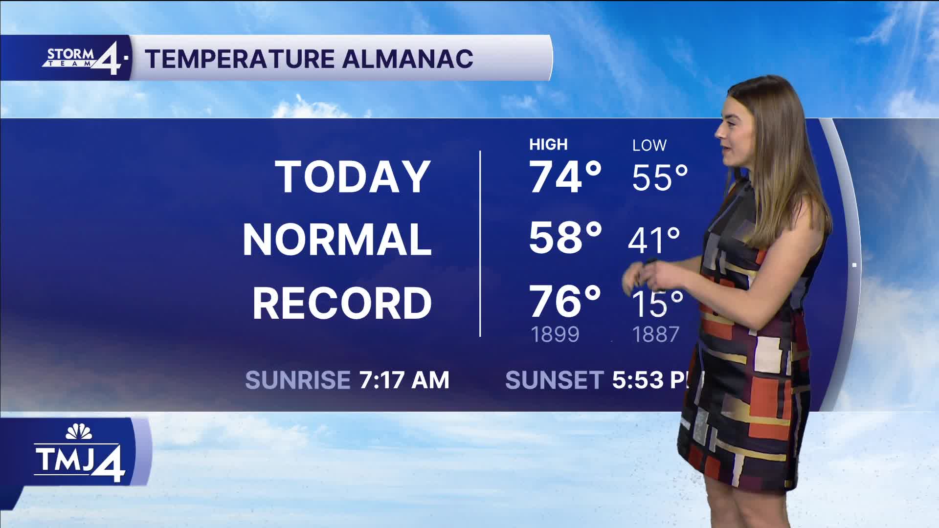


It was another beautiful weather day in Southeast Wisconsin. We saw sunshine and highs in the mid 70s! These temps are near record breaking. The warmth comes to an abrupt end tonight as a cold front marches through Southeast Wisconsin. Our winds switch to the northeast. Overnight lows stay in the 50s.
Highs on Monday are only in the upper 50s and low 60s. This will be the coldest day in more than a week. For the first time in a week, we are forecasting rain showers. Isolated showers are possible on Wednesday and likely on Thursday. The rain comes with some warmer temperatures and we may even see a return of 70 degree highs!
Early signs are pointing to a chance of showers with mild temperatures on Halloween.
HERE'S YOUR LATEST STORM TEAM WEATHER FORECAST FOR MILWAUKEE
AND SOUTHEASTERN WISCONSIN BY METEOROLOGIST LAUREN LARSEN
TONIGHT: Partly Cloudy
Low: 50
Wind: N 5-10 mph
MONDAY: Mostly Cloudy, Breezy
High: 58
Winds: NE 10-20 mph
TUESDAY: Partly Cloudy
High: 61
WEDNESDAY: Slight Ch. Showers
High: 70
THURSDAY: Slight Ch. Showers
High: 67
FRIDAY: Partly Cloudy
High: 66
It’s about time to watch on your time. Stream local news and weather 24/7 by searching for “TMJ4” on your device.
Available for download on Roku, Apple TV, Amazon Fire TV, and more.
