



The warm weather continues today with highs jumping into the lower and mid-60s across all of southeast Wisconsin. A few passing clouds are possible today with breezy SW winds. Overnight lows will only fall into the upper 40s and lower 50s.
The start to the Gun Deer season starts off warm & snow-less (which is not ideal for hunters). Highs top out in mid-60s Saturday afternoon.
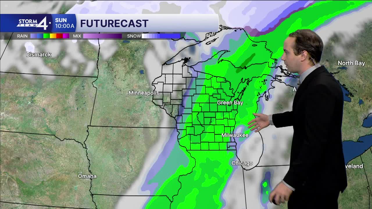
A cold front approaches from the northwest late Saturday night. Clouds increase into Sunday along with the chance for scattered showers. Most of the rain falls Sunday morning with showers exiting West to East throughout the afternoon.
A big flip in temperatures is expected Sunday and into next week as highs top out in the lower 40s.
FRIDAY: Partly Cloudy
High: 64
Wind: S 5-10 mph
TONIGHT: Partly Cloudy
Low: 50
Wind: S 10-15 mph
SATURDAY: Sunny, Warm & Breezy
High: 65
Wind: S 10-15 mph
SUNDAY: Early Showers; Mostly Cloudy
High: 56
Wind: S/NW 10-15 mph
MONDAY: Sunny & Cooler
High: 41
TUESDAY: Mostly sunny
High: 40
It’s about time to watch on your time. Stream local news and weather 24/7 by searching for “TMJ4” on your device.
Available for download on Roku, Apple TV, Amazon Fire TV, and more.
