

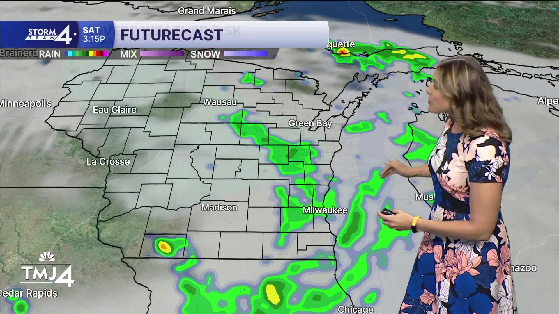


Gorgeous Friday night on tap for football! Whether you are in Green Bay or at one of the local high school games, temps fall through the mid 60s overnight with clouds increasing ahead of our next weather systems.
The weekend is 50/50. Saturday features highs near 80 with afternoon and evening scattered showers possible. The heavy axis of rain is impacting the Green Bay area more so that SE WI. Overall up to 1" possible, but this is not a soaking rain. Sunday is warmer in the mid 80 with a chance of rain, but most holds off until overnight into Monday. That will likely be a better drink for the gardens and lawns.
Next week, we maintain an active pattern with on and off storm chances Monday-Wednesday. Temperatures and humidity also get a summer like boost with highs in the mid and upper 80s. That means the feels like temperature (or heat index) will be well into the 90s.
HERE'S YOUR LATEST STORM TEAM WEATHER FORECAST FOR MILWAUKEE
AND SOUTHEASTERN WISCONSIN BY METEOROLOGIST LINDSEY SLATER.
TONIGHT: Increasing clouds.
Low: 66
Wind: SE 5-10
SATURDAY: Sticky with shower/storm chances in the afternoon/evening.
High: 80
Wind: SW 5-10
SUNDAY: AM and PM Chance, hot and muggy.
High: 85
Wind: SW 10-15
MONDAY : Chance of storms. Hot and humid.
High: 87
Wind: SW 10-15
TUESDAY: Hot and humid. Partly cloudy.
High: 86
Wind: SW 10-15
WEDNESDAY: Hot and humid. Chance storms.
High: 85
Wind: SW 5-10
It’s about time to watch on your time. Stream local news and weather 24/7 by searching for “TMJ4” on your device.
Available for download on Roku, Apple TV, Amazon Fire TV, and more.
