

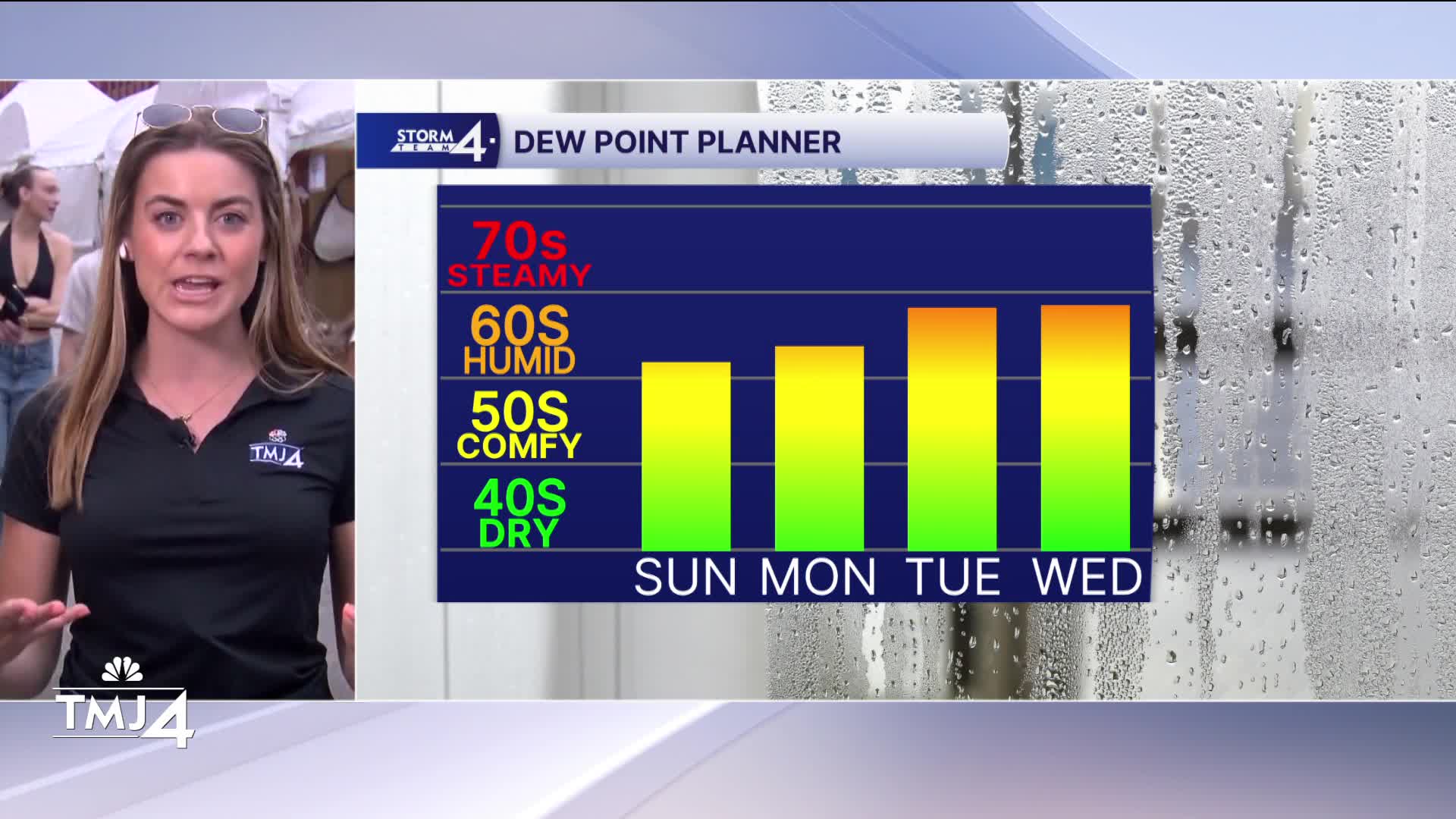


Cloudy skies and mild temperatures are the story for Saturday. Dew points and humidity are still high and sticky.
Tonight our temperatures fall to the low 60s with mostly clear skies.
Sunday will bring more sunshine to Southeast Wisconsin. Our highs will be in the mid 70s which is normal for early September. However, dew point temperatures are still in the mid to low 60s so the mugginess hangs around. Our humid patter lasts for a few more days. Labor Day will be dry, sunny, and warm.
Our next chance for rain is late Tuesday into Wednesday. This could bring some strong storms too.
Check out the forecast:
HERE'S YOUR LATEST STORM TEAM WEATHER FORECAST FOR MILWAUKEE
AND SOUTHEASTERN WISCONSIN BY METEOROLOGIST LAUREN LARSEN
TONIGHT: Mostly Clear
Low: 62
Wind: W 5 mph
SUNDAY: Mostly Sunny; Still Humid
High: 76
Wind: E 5-10 mph
MONDAY: Mostly Sunny; Still Humid
High: 78
Wind: SE 5-10 mph
TUESDAY: Chance of PM Storms; Warmer
High: 82
WEDNESDAY: Chance for Storms, Humid
High: 85
THURSDAY: Partly Cloudy
High: 78
It’s about time to watch on your time. Stream local news and weather 24/7 by searching for “TMJ4” on your device.
Available for download on Roku, Apple TV, Amazon Fire TV, and more.
