



After breaking the record high in Milwaukee yesterday (high was 67; previous record was 66), we'll see similar temperatures today, although the record high for today is 70, so I don't think we'll get quite that warm. It'll be another gorgeous day with plenty of sunshine and highs back in the 60s
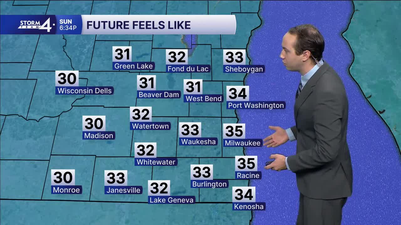
Starting late tonight, showers will move in. Those showers will continue into Sunday morning. Although we won't see a ton of rainfall, we will see the temperatures beginning to cool following the rain. Winds shift out of the northwest Sunday afternoon, leading to temperatures falling throughout the day. By the time we get to Sunday night, lows will plummet into the upper 20s, with daytime highs on Monday only reaching the lower 40s.
Similar conditions are expected for the rest of Thanksgiving week with highs continuously in the middle/lower 40s. Although it will be colder, right now we are looking mostly dry for the holiday.
TODAY: Mostly Sunny and Warm
High: 66
Wind: S 10-15 mph
TONIGHT: Showers Late
Low: 50
Wind: S 5-15 mph
SUNDAY: AM Showers; PM Partly Cloudy and Windy
High: 56 early; Falling PM Temps
Wind: S to NW 10-20 mph; G30
MONDAY: Mostly Sunny and Cooler
High: 42
Wind: NW 10-15 mph
TUESDAY: Mostly Sunny
High: 40
WEDNESDAY: Partly Cloudy
High: 41
THURSDAY: Partly Cloudy
High: 43
FRIDAY: Partly Cloudy
High: 44
It’s about time to watch on your time. Stream local news and weather 24/7 by searching for “TMJ4” on your device.
Available for download on Roku, Apple TV, Amazon Fire TV, and more.
