



It is a hot, humid, and wet day in Southeast Wisconsin. Some of our southern counties saw an inch of rain today. The radar is still active this evening but we are not expecting severe weather. We could see more rain Monday morning but rain is more likely tomorrow evening. Still, the chance for rain is low. As the evening storms develop we may see breezy winds. The day won't be a complete washout.
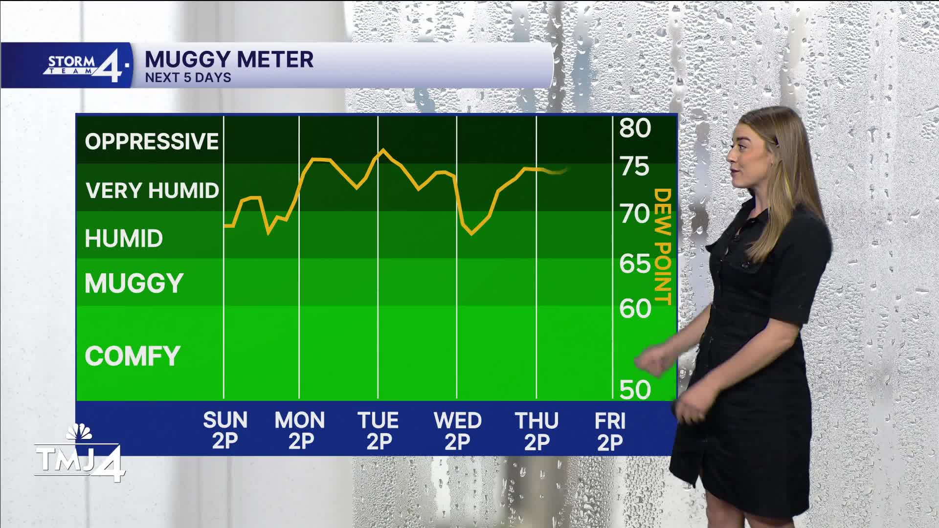
This week won't feel like September. The forecast is all about heat, humidity, and storm chances. Highs will be in the mid 80s and dew points in the upper 60s.
From now until Wednesday, expect consistent highs in the mid 80s and dewpoints up to the low 70s. We also will continue to see the chance of on and off storms throughout most of next week, but right now all of those chances appear to be mostly non-severe.
Stay with Storm Team 4 as we break down the rain chances throughout the week.
HERE'S YOUR LATEST STORM TEAM WEATHER FORECAST FOR MILWAUKEE
AND SOUTHEASTERN WISCONSIN BY METEOROLOGIST LAUREN LARSEN
TONIGHT: Slight Shower/Storm Chance
Low: 71
Wind: S 5-15 mph
MONDAY : Hot and Muggy
High: 87
Wind: S 10-20 mph
TUESDAY: Chance of Storms; Warm, Humid.
High: 86
Wind: SW 5-10 mph
WEDNESDAY: Warm and Humid
High: 86
THURSDAY: Slight Storm Chance
High: 80
FRIDAY: Chance Showers
High: 82
It’s about time to watch on your time. Stream local news and weather 24/7 by searching for “TMJ4” on your device.
Available for download on Roku, Apple TV, Amazon Fire TV, and more.
