

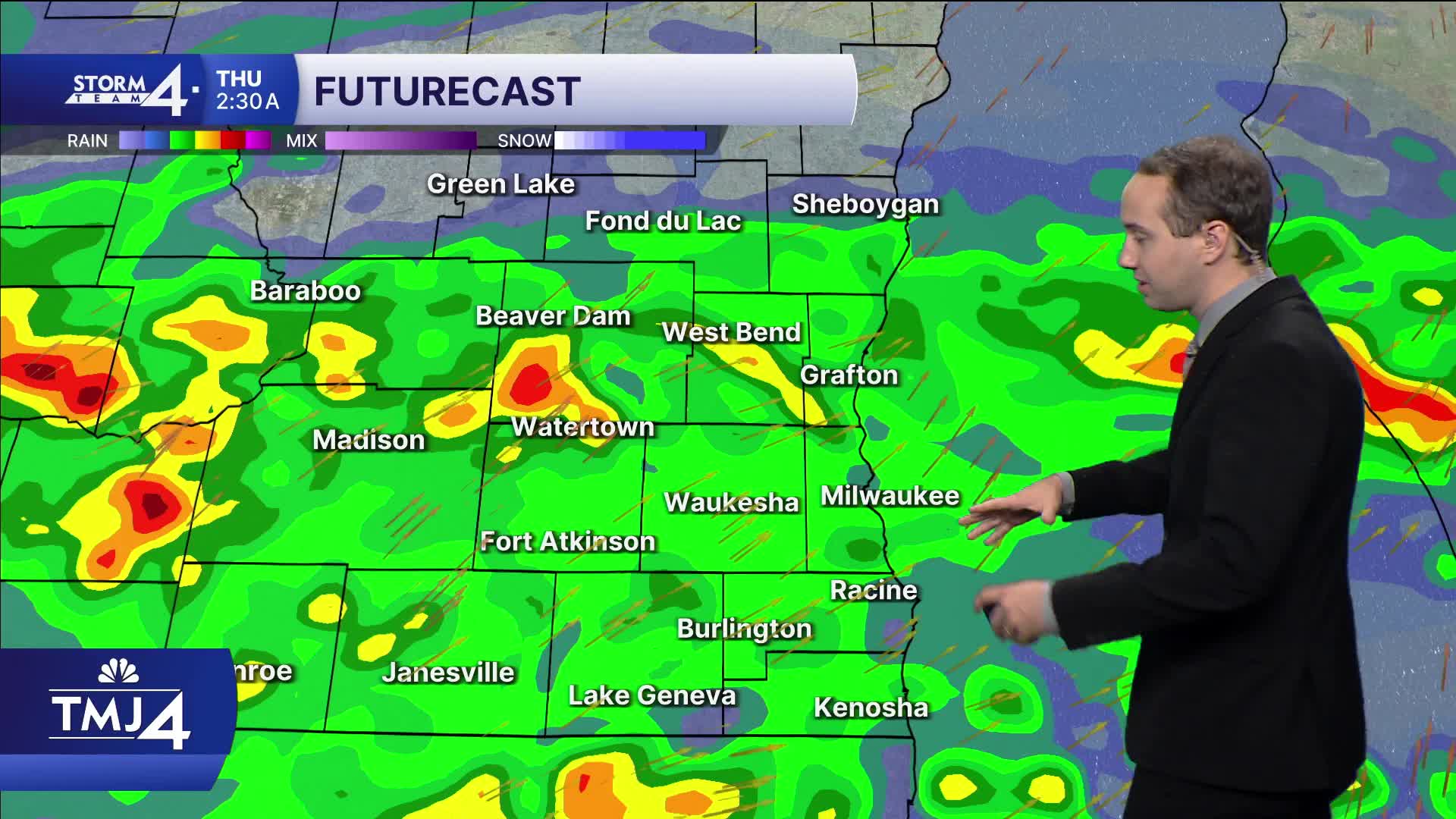


This afternoon and evening, on and off light rain is possible, but the widespread rain will return later in the night. This time around, heavy rain could be possible from midnight through Thursday morning. Even into Thursday afternoon and evening, we're likely to continue to see at least light rain. An additional 1 to 2 inches is still possible.
Once the rain clears Thursday night, we dry up for the rest of the week and beyond. Temperatures will also cool with highs in the lower 60s and lows in the 40s through the weekend and next week.
TONIGHT: Showers increasing overnight.
Low: 61
Wind: S 5-10
THURSDAY: Moderate widespread showers, especially south of I-94.
An additional inch of rain likely.
High: 67
Wind: SW/NW 5-10
FRIDAY: Clearing and cooler.
High: 61
SATURDAY: Chilly start with a cool (for early Oct) afternoon.
High: 62
SUNDAY: Mostly sunny and mild.
High: 63
MONDAY: Mostly sunny and much cooler
High: 58
It’s about time to watch on your time. Stream local news and weather 24/7 by searching for “TMJ4” on your device.
Available for download on Roku, Apple TV, Amazon Fire TV, and more.
