



Lingering light showers will continue to be possible through the early evening. Windy conditions will remain as well, with gusts up to 40 mph at times today. Winds will be coming out of the north/northwest, which will lead to temperatures staying in the 50s throughout the afternoon.
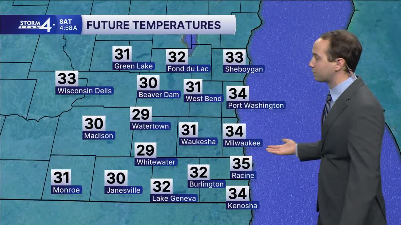
By the overnight hours, rain will have cleared out, and winds will be calming down as well, but very cool overnight lows are expected. By sunrise Saturday, we're expecting lows in the 30s for our entire area, with a few isolated locations farther west possibly getting into the upper 20s. Widespread frost is expected, with some locations seeing their first freeze of the year. There are frost advisories in effect for lakeside counties and freeze warnings in effect for everyone else (plus Sheboygan County) for tonight. Sunshine will return Saturday, but highs will remain cool in the 50s.
Winds pick back up Sunday under mostly sunny skies. Highs for Sunday and most of next week will be back in the middle/lower 60s. Right now, we're not seeing any future rain chances after the rain today clears up.
It’s about time to watch on your time. Stream local news and weather 24/7 by searching for “TMJ4” on your device.
Available for download on Roku, Apple TV, Amazon Fire TV, and more.
