

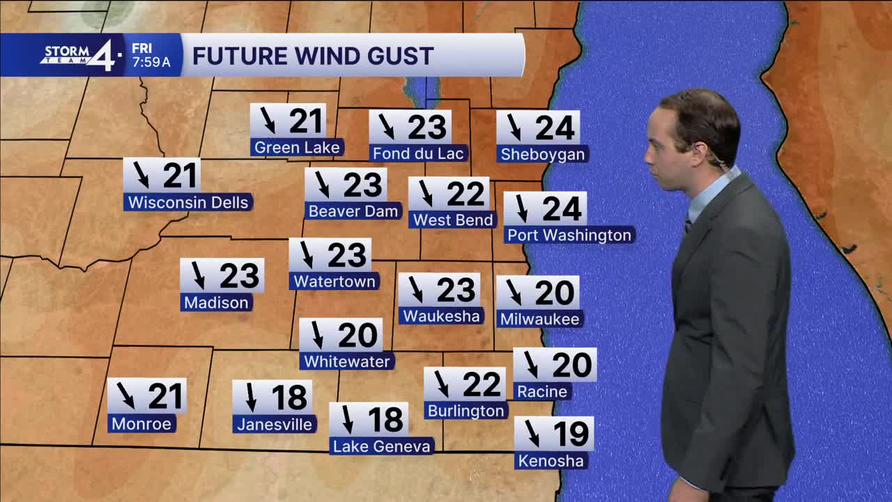


Cloudy skies with a small chance of isolated showers will continue today. Any rain that does fall will be very light. The clouds will begin to break up overnight into tomorrow. During this time, northerly winds will create cool overnight lows dropping into the 30s. This will also cause highs tomorrow to only be in the upper 40s. Under mostly clear skies, it will then get even cooler for Friday night into Saturday morning with lows expected to drop below freezing for much of the area.
The good news is that sunshine is expected over the weekend along with temperatures slowly getting better into next week. Highs over the weekend will be in the 50s, and then highs Monday could be in the lower 60s.
There will continue to be little to no chance of rain through most of next week.
THURSDAY: Scattered Showers, Windy, and Getting Colder
High: 53
Wind: Bec N 10 mph
TONIGHT: Mostly Cloudy & Windy
Low: 37
Wind: SW 10-15 G 30 mph
FRIDAY: Partly Cloudy, Windy, and Cool
High: 47
SATURDAY: Mostly Sunny
High: 50
SUNDAY: Mostly Sunny
High: 55
MONDAY: Mostly Sunny
High: 60
It’s about time to watch on your time. Stream local news and weather 24/7 by searching for “TMJ4” on your device.
Available for download on Roku, Apple TV, Amazon Fire TV, and more.
