



It is a grey start to November. This is the final month of meteorological fall and historically one of the cloudiest of the year. Our average high is 55 and low is 39 degrees. We continue to be above average with no chance for freezing temperatures in sight.
We could see a few sprinkles overnight with low temperatures in the low 50s.
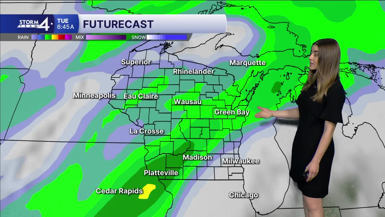
An area of low pressure out of Colorado will dominate our weather in the coming days. By Monday afternoon we will start to see showers in Wisconsin. Rain continues overnight into Tuesday and the first half of the day Wednesday. Three day rain totals will be anywhere from 0.85" to 1.5". There is no threat for severe weather. Temperatures sit comfortably above average. Highs could even hit 70 degrees on Tuesday. The record high for Nov. 3 is 74 degrees set in 1964. We have seen quite a few years with 70 degree highs in November so this is not out of the question.
Weather calms down and dries out next weekend. Highs will be in the mid 50s.
HERE'S YOUR LATEST STORM TEAM WEATHER FORECAST FOR MILWAUKEE AND SOUTHEASTERN WISCONSIN BY METEOROLOGIST LAUREN LARSEN
TONIGHT: Sprinkles Possible
Low: 53
Wind: S 5 mph
MONDAY: PM Rain Likely
High: 63
Wind: S 10-15 mph
TUESDAY: Showers Likely, Breezy
High: 70
Wind: S 15-30 mph
WEDNESDAY: Morning Rain Likely
High: 65
Wind: SW 10-15 mph
THURSDAY: Chance Rain
High: 61
FRIDAY: Mostly Cloudy
High: 54
It’s about time to watch on your time. Stream local news and weather 24/7 by searching for “TMJ4” on your device.
Available for download on Roku, Apple TV, Amazon Fire TV, and more.
