

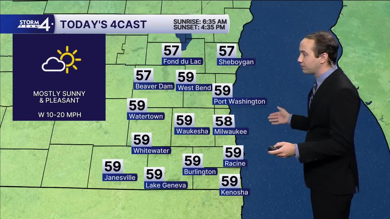


Temperatures have rebounded today with morning lows around 40 degrees. The afternoon forecast for today through Tuesday is looking good for this time of the year with highs in the middle to upper 50s and plenty of sunshine each day.
Our next chance of rain looks to come Wednesday afternoon. This will cool the temperatures down with highs in the lower 50s Wednesday, and then upper 40s Thursday and Friday. Freezing temperatures could return Thursday night. As the precipitation lingers across our area Thursday and possibly Friday as well, there exists a chance of some snowflakes across southeast Wisconsin, although we're certainly not expecting much in terms of accumulation.
TODAY: Mostly Sunny & Milder
High: 58
Wind: W 10-20 mph
TONIGHT: Mostly Clear
Low: 38
Wind: NW 5-10 mph
MONDAY: Partly Cloudy
High: 56
Wind: NW 5-10 mph
TUESDAY: Mostly Sunny
High: 60
Wind: NW 5-10 mph
WEDNESDAY: Chance of PM Showers
High: 52
THURSDAY: Chance of Showers; Mix Late?
High: 47
FRIDAY: Slight Chance of Mixed Showers
High: 46
It’s about time to watch on your time. Stream local news and weather 24/7 by searching for “TMJ4” on your device.
Available for download on Roku, Apple TV, Amazon Fire TV, and more.
