

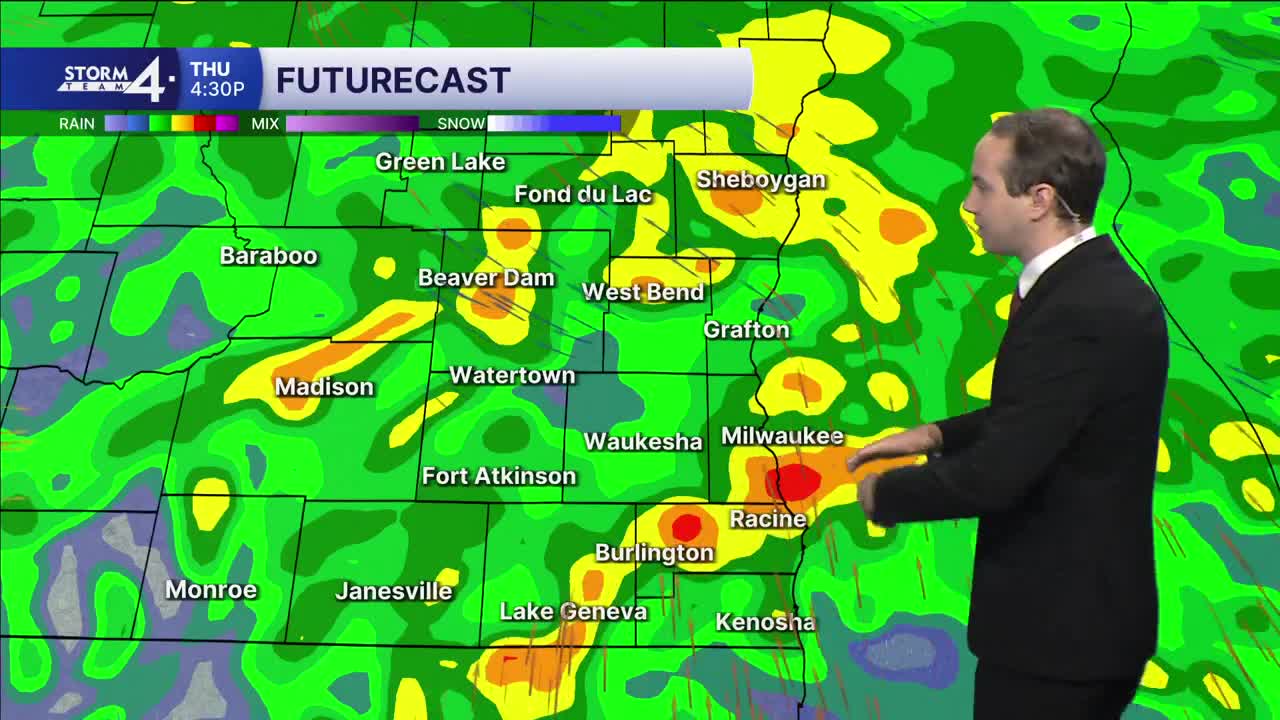


Scattered showers will move in during the mid-late morning hours, with widespread shower activity expected throughout the afternoon. While most of the rain will be on the lighter side, some pockets of heavier rain could be possible. Highs will only climb into the mid/upper 50s with the consistent rain and cloud cover. Total precipitation will be around 0.5" to 1.0", with a few isolated amounts over an inch.
Lingering showers will last as late as Friday afternoon, but then taper off by Friday night. Two departing areas of low-pressure will help drive wind gusts towards 40 mph on Friday, leading to even cooler highs in the middle 50s. An isolated instance or two of graupel is worth watching for!
Winds subside tomorrow night as the skies clear. This will cause lows to tumble all the way into the 30s by Saturday morning. Widespread frost is likely for all of SE Wisconsin, with some areas possibly seeing their first freeze of the season.
Sunshine is back overhead for the weekend, but it will remain cool for Saturday with more highs in the 50s. Highs will jump to the 60s on Sunday as the winds pick back up, but this time they'll gust out of the southwest. Dry and sunny weather is then expected through the beginning of next work week.
It’s about time to watch on your time. Stream local news and weather 24/7 by searching for “TMJ4” on your device.
Available for download on Roku, Apple TV, Amazon Fire TV, and more.
