

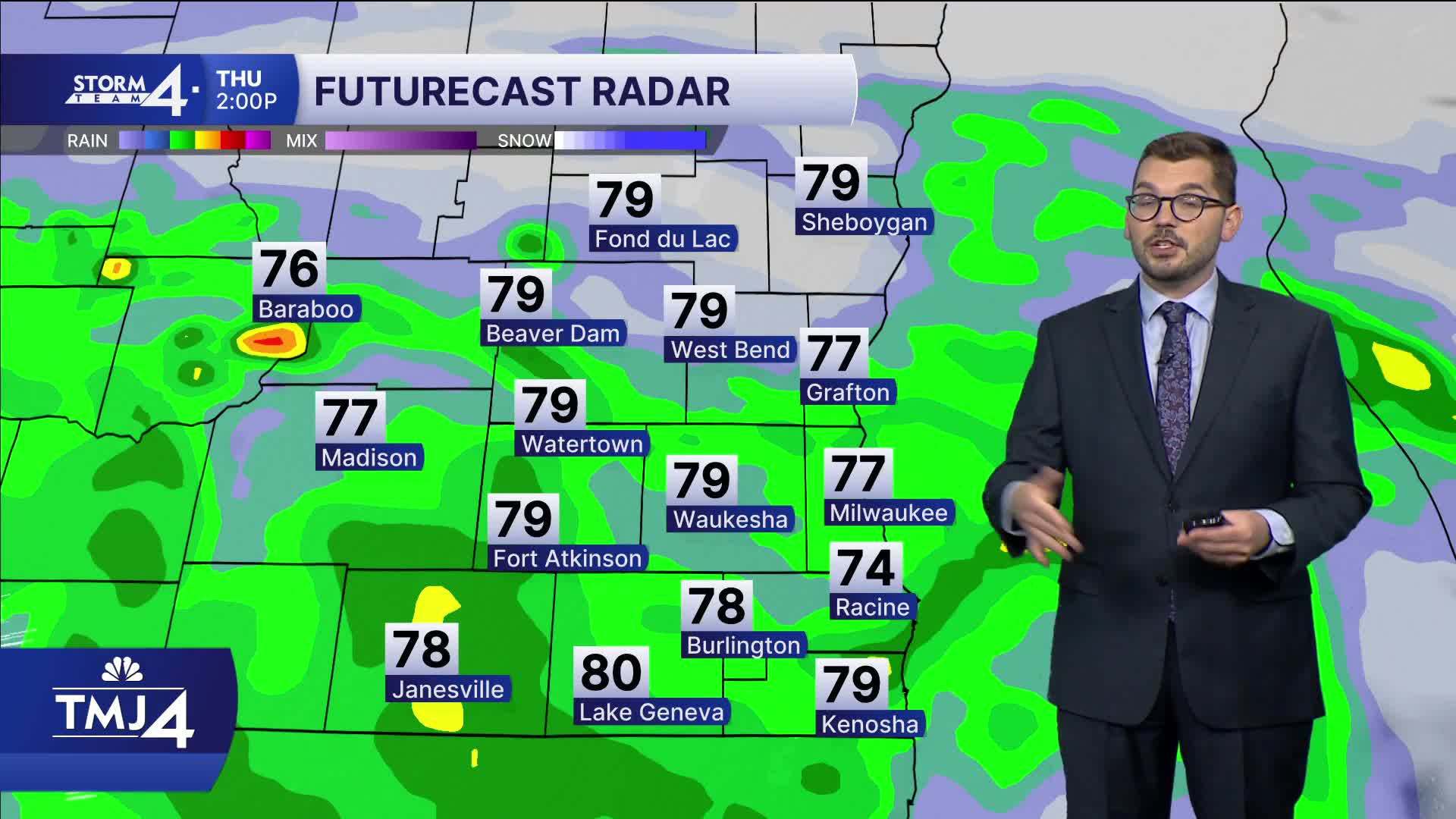


Rain hugging the state line overnight which could lead to a few spotty showers Friday morning. Watch for patchy fog development before sunrise Friday during the morning rush. Friday afternoon features mostly cloudy skies with highs in the upper 70s, while dewpoints stay uncomfortable in the upper 60s.
WATCH: When we could finally feel some heat relief
The weekend is 50/50 with rain showers likely Saturday morning, then taper off for the afternoon. Highs in the upper 70s with steamy dews. Sunday features a chance of showers with plenty of dry time. Highs Sunday near 80 with soupy dews once more. A cold front will help to dry out the air for early next week.
TONIGHT: Rain exiting with soupy dewpoints continuing.
Low: 70
Wind: SE to NE 5-10
FRIDAY: Spotty early shower, then humid and mostly cloudy. Possible fog in the morning.
High: 76
Wind: NE 5-10
SATURDAY: Morning rain showers likely, then clearing for the afternoon. Still Humid.
High: 78
Wind: SE 5-10
SUNDAY: Chance of showers. Humid.
High: 80
Wind: NW 5-10
MONDAY: Less humid and sunny.
High: 77
TUESDAY: Mostly sunny.
High: 80
It’s about time to watch on your time. Stream local news and weather 24/7 by searching for “TMJ4” on your device.
Available for download on Roku, Apple TV, Amazon Fire TV, and more.
