

Morning rain showers didn't add up to much, then the skies cleared out. Besides the wind, it ended up being a nice afternoon as temperatures pushed well into the 60s.
The wind should die down a bit tonight as lows fall into the 40s. Another windy and warm day can be expected on Monday. Temperatures should actually climb well into the 70s.
A cold front brings a pretty good chance for showers and storms tomorrow evening. A few of the storms may be strong, but widespread severe weather is not expected. Post cold front, the temperatures cool again into Tuesday.
WATCH: Will we see strong storms tomorrow evening?
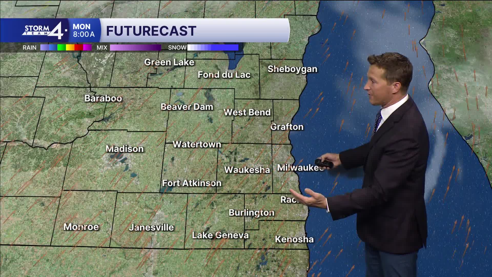
HERE'S YOUR LATEST STORM TEAM WEATHER FORECAST FOR MILWAUKEE
AND SOUTHEASTERN WISCONSIN BY METEOROLOGIST BRIAN NIZNANSKY.
TONIGHT: Mainly Clear. Not As Windy
Low: 46
Wind: sw 10-15 mph
MONDAY: Mostly Sunny, Breezy, and Warm. Sct'd Showers/Storms Late
High: 75
Wind: SW 10-20 mph
TUESDAY: Bec. Partly Cloudy
High: 55
WEDNESDAY: Partly cloudy, Breezy, and Cool
High: 52
THURSDAY: Partly Cloudy. Ch. Showers Late
High: 55
It’s about time to watch on your time. Stream local news and weather 24/7 by searching for “TMJ4” on your device.
Available for download on Roku, Apple TV, Amazon Fire TV, and more.
