

It was an absolutely beautiful spring day, but changes are on the way. Clouds increase tonight, and we'll have our next chance for rain well after midnight and into tomorrow morning.
A warm front surges through southern Wisconsin, and most of us will warm well into the 70s tomorrow. It will be cooler right along the lakeshore, especially north of Milwaukee.
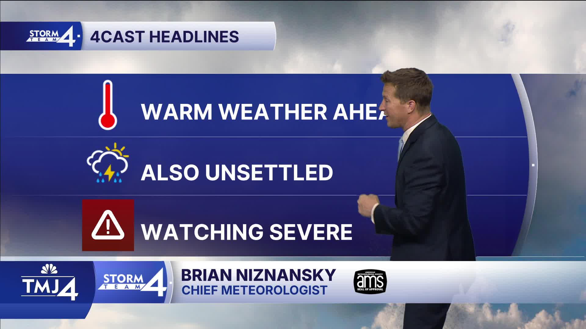
Watch: When storms could arrive in southeast Wisconsin:
A round of storms is possible late Friday night, but the severe threat looks low. The weekend stays warm and unsettled, and we have to keep an eye on potential severe storms on Monday.
TONIGHT: Increasing Clouds. Ch. Showers Late
Lows: 48
Wind: S 5-10 mph
FRIDAY: Ch. AM Showers Then Partly Cloudy, Breezy, and Warm. Ch. T-Storms At Night
High: 76
Wind: S 10-15 mph
SATURDAY: Partly Cloudy and Warm. Slight Ch. T-storms
High: 81
SUNDAY: Mostly Cloudy With Ch. Showers/Storms
High: 77
MONDAY: Partly Cloudy, Warm and Humid. T-Storms LIkely
High: 83
It’s about time to watch on your time. Stream local news and weather 24/7 by searching for “TMJ4” on your device.
Available for download on Roku, Apple TV, Amazon Fire TV, and more.
