



A line of showers/storms has developed across Iowa and may clip Southwest Wisconsin this morning. Rain and storms will initially stay south of the region.
A warm front lifts northward today — sparking a few showers and an isolated storm this afternoon. Highs will climb into the mid/upper 60s.
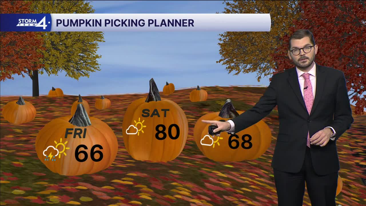
Overnight lows drop into the upper 50s under a clearing sky. Southerly winds ramp up on Saturday — bringing highs into the upper 70s and lower 80s. Clouds from the remnants of Isaias will begin spreading over the Midwest late Saturday. This cloud cover could impact high temperatures. Rain, once again, stays South. Cloud cover will be more widespread on Sunday as highs cool back to the upper 60s & lower 70s.
A cold front will trigger rounds of showers/storms late Monday into Tuesday. Next week appears more active. Highs will return to the 60s.
FRIDAY: Partly Cloudy; Slight Chance Showers/Iso. Storm
High: 66
Wind: SE 5-10 mph
TONIGHT: Mostly Cloudy; Gradually Clearing
Low: 58
Wind: SE 5-10 mph
SATURDAY: Mostly Sunny
High: 80
Wind: S 10-15 mph
SUNDAY: Mostly Sunny
High: 68
MONDAY: Mostly Cloudy; Chance Showers/Iso Storm
High: 77
TUESDAY: Mostly Sunny
High: 65
It’s about time to watch on your time. Stream local news and weather 24/7 by searching for “TMJ4” on your device.
Available for download on Roku, Apple TV, Amazon Fire TV, and more.
