

A SEVERE THUNDERSTORM WATCH IS IN EFFECT FOR DODGE AND FOND DU LAC COUNTIES UNTIL 9PM SUNDAY NIGHT.
AN AIR QUALITY ALERT IS IN EFFECT FOR KENOSHA, RACINE, MILWAUKEE, OZAUKEE, AND SHEBOYGAN COUNTIES UNTIL 11PM. AIR QUALITY IS EXPECTED TO DROP INTO THE UNHEALTHY FOR SENSITIVE GROUPS (ORANGE) RANGE. LIMIT TIME OUTDOORS AS NEEDED.
Scattered rain and storms will move into SE WI late Sunday evening into Sunday night. The strongest storms could contain gusty winds, hail, and heavy rain. Storms will weaken as they cross the region and will exit the Milwaukee area by 2am. Low temperatures will hover around 70-degrees.
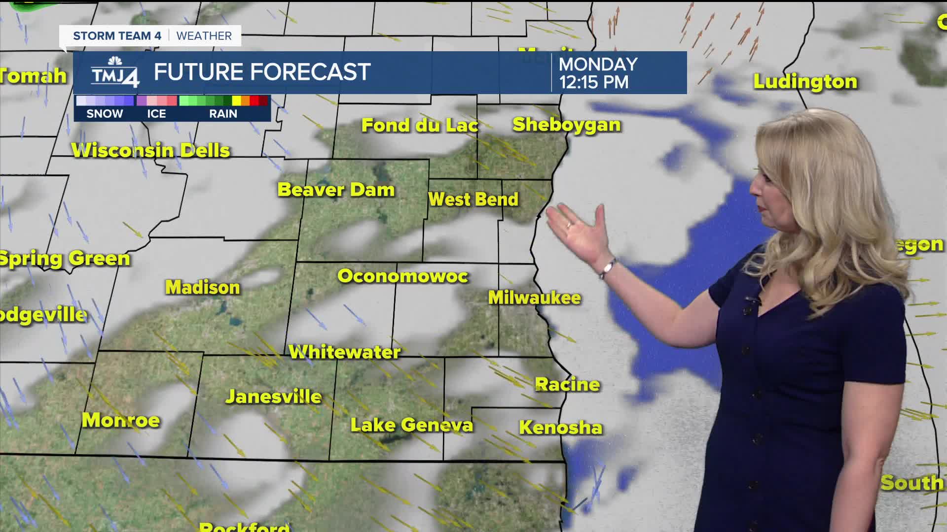
The cold front will slowly clear Wisconsin on Monday afternoon. A few scattered storms are expected Monday afternoon. Highs climb into the low to mid 80s with humidity remaining high.
A drier trend sets up for Tuesday and Wednesday. While it may be slightly less humid, it'll still be warm with highs in the 80s.
Pop-up showers/storms are possible on Thursday and Friday. A better chance for widespread rain arrives on Saturday with the passage of yet another cold front. Stay with TMJ4 for more details on the holiday weekend forecast as we get closer.
TONIGHT: Sct. Showers/Storms; Warm
Low: 68
Wind: Var 5-10 mph
MONDAY: Scattered Rain/Storms
High: 85
Wind: W/NW 5-15 mph
TUESDAY: Mostly Sunny
High: 83
WEDNESDAY: Partly Cloudy
High: 87
THURSDAY: Partly Cloudy, Chance Rain/Storm
High: 83
FRIDAY: Mostly Sunny; Iso. Rain Shower or T-Storm
High: 88
It’s about time to watch on your time. Stream local news and weather 24/7 by searching for “TMJ4” on your device.
Available for download on Roku, Apple TV, Amazon Fire TV, and more.
