



After hitting 60-degrees yesterday in Milwaukee, more warmth is expected today. Southerly winds will gust upwards of 20-25 mph under a mostly sunny sky. A few clouds were around this morning, but plenty of Sun is expected this afternoon.
Overnight lows are expected to drop into the mid-40s. Some patchy fog may develop as the low temperatures approach the dew point.
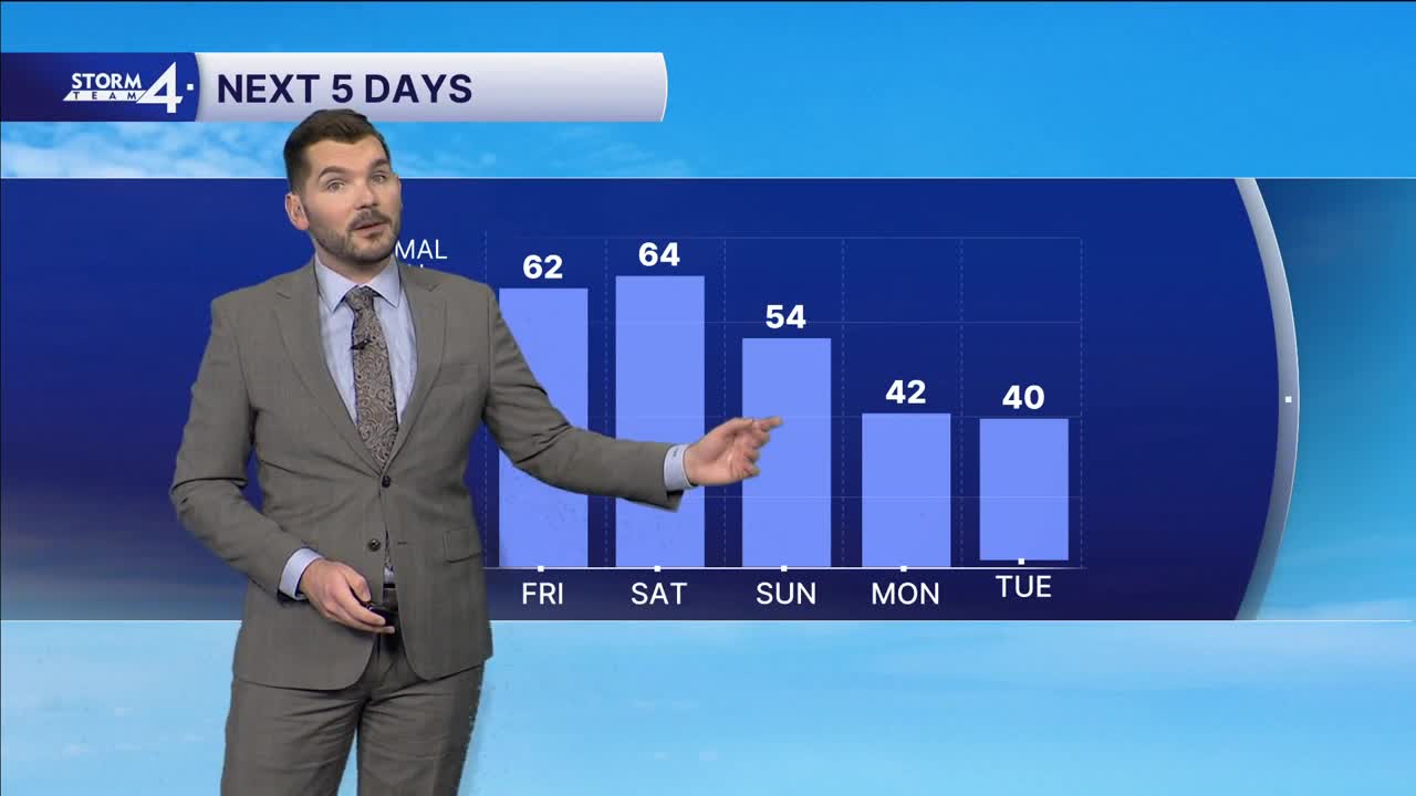
Sunshine is back again for Friday and Saturday as highs top out in the lower 60s.
Storm Team 4 continues to monitor a cold front which will swing through the region early Sunday. Scattered showers are expected ahead of and along the frontal boundary — mainly during the morning. Temperatures will top out in the 50s and then cool throughout the day - behind the front.
Sunshine returns next week, but it'll be far cooler. Highs will only top out in the lower 40s - several degrees below normal.
THURSDAY: Mostly Sunny, Breezy, and Mild
High: 63
Wind: SW 10-15 G25 mph
TONIGHT: Patchy Fog; Mostly Clear
Low: 45
Wind: SW 5-10 mph
FRIDAY: Mostly Sunny and Mild
High: 62
Wind: S 10-15 mph
SATURDAY: Mostly Sunny & Breezy
High: 64
Wind: S10-15 G25 mph
SUNDAY: AM Showers Likely; Mostly Cloudy
High: 54
MONDAY: Mostly Sunny
High: 42
It’s about time to watch on your time. Stream local news and weather 24/7 by searching for “TMJ4” on your device.
Available for download on Roku, Apple TV, Amazon Fire TV, and more.
