

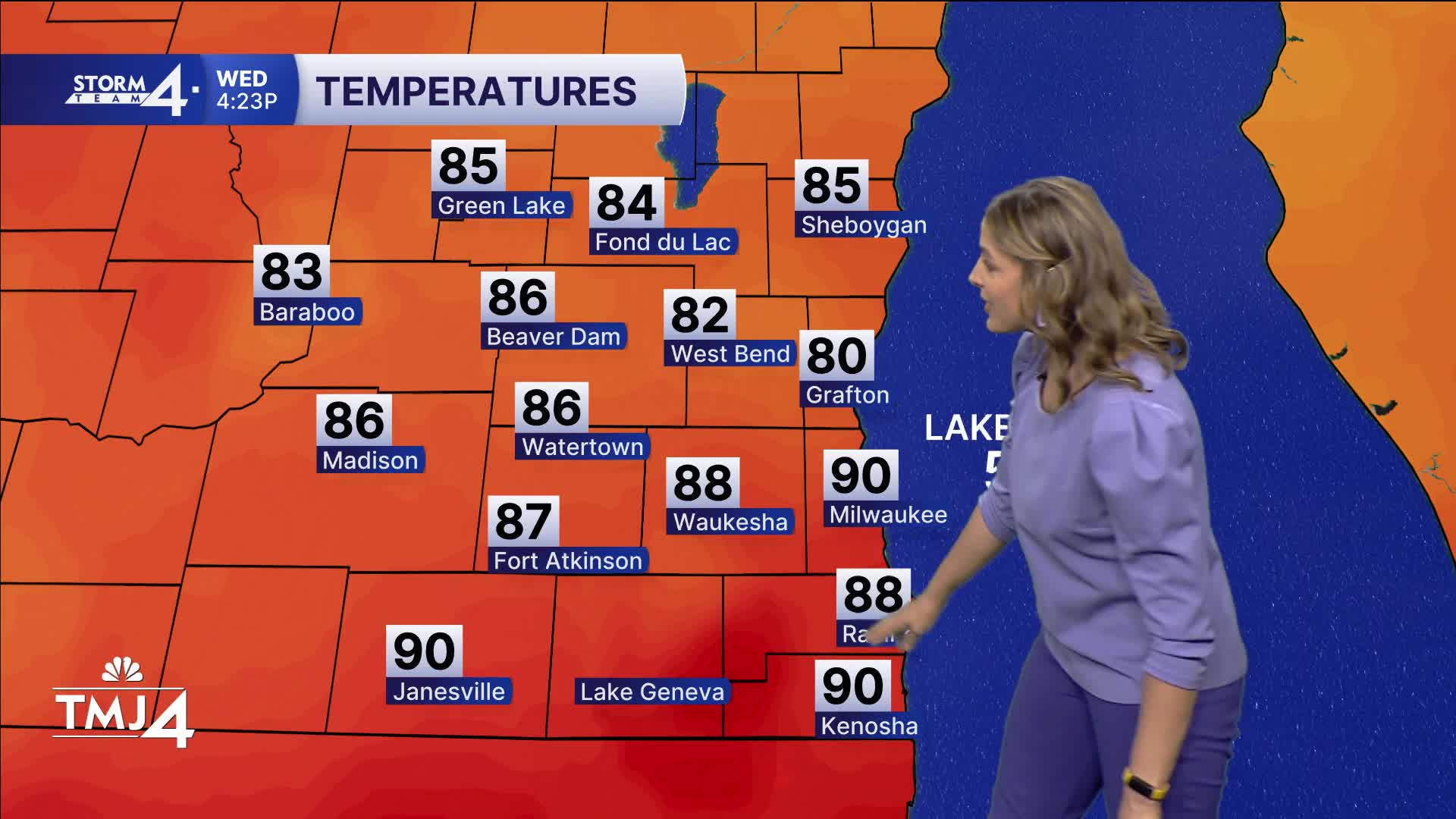


The rest of the evening features a pop up shower or two with muggy and warm conditions. Temps will fall through the 70s overnight.
Heat and humidity still remain a big story, as we are above average for the foreseeable future. Dews also stay muggy and steamy through early next week.
Storm chances ramp up again for Thursday, especially in the afternoon and evening. While widespread severe weather is not anticipated, some storms could be strong to our west, and migrate east with strong winds and hail. Stay tuned to our Storm Team 4cast for the latest updates on timing and impacts.
Overnight Thursday features a line of scattered storms with threats of wind and locally heavy downpours. This moves out quickly early Friday morning.
TONIGHT: Mostly cloudy and muggy.
Low: 73
Wind: Var 5-10
THURSDAY: Mostly cloudy, muggy, with storms in the afternoon and evening. Some could be strong.
High: 83
Wind: NNE 5-10
FRIDAY: Early chance of storms. Hot and humid.
High: 81
Wind: SE 5-10
SATURDAY: Mostly cloudy, sl chance.
High: 80
Wind: E 5-10
SUNDAY: Partly cloudy, sl chance
High: 80
Wind: SE 5-10
MONDAY: Partly cloudy, chance.
High: 80
Wind: SW/SE 5-10
TUESDAY: Mostly cloudy with a lake breeze.
High: 81
Wind: NE/SE 10-15
It’s about time to watch on your time. Stream local news and weather 24/7 by searching for “TMJ4” on your device.
Available for download on Roku, Apple TV, Amazon Fire TV, and more.
