

We saw widespread rain showers today. Most collected less than half an inch of rain. Don't forget, it is the wettest April on record with more than 9 inches collected.
What happened after the rain cleared was far more significant. We had wind gusts as high as 50-60 mph throughout our counties. A wind gust of 77mph was recorded at the airport. This damage was caused by a wake low.
A wake low is a small-scale, intense area of low pressure that forms on the trailing edge of the decaying thunderstorm. The major change in pressure creates damaging wind gusts. There is no way to forecast this.
You can send your rainfall reports and damage photos to weatherteam@tmj4.com.
WATCH: Will we be seeing severe storms this evening?
Now for some good news, the threat of severe weather has significantly diminished. Strong storms developed in Missouri and Illinois. This is helping to block the warm air we were expecting to see. The highest risk area is now across Missouri and Southern Illinois.
All of our counties in Southeast Wisconsin are included in a Marginal Risk, which is a level 1 of 5.
You should not drop your guard completely. Isolated strong storms are possible.
If strong storms develop, gusty winds and small hail are possible. We will likely see an inch of rain, which will add stress to our rivers and saturated ground.
After the storms, the rest of your week is dry.
Tuesday will be partly cloudy with temperatures near 60 degrees.
Our average high temperature is 57 this week. Our highs are slightly below average this week.
TONIGHT: Scattered Storms, Some Strong
Storms end by midnight.
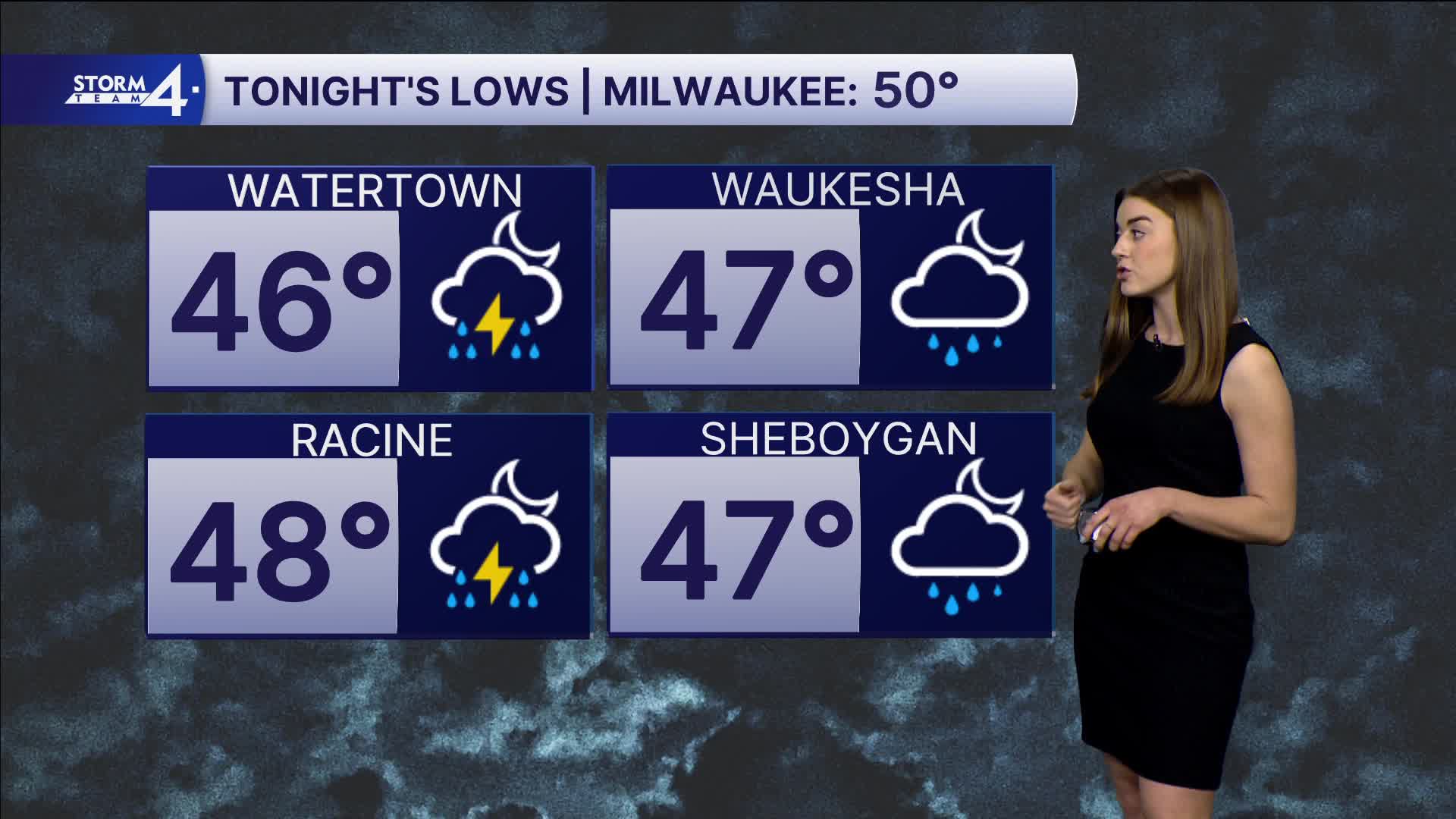
Low: 52
Wind: S 10-15 mph
TUESDAY: Partly Cloudy
High: 60
Wind: W 10-15
WEDNESDAY: Partly Cloudy
High: 55
THURSDAY: Partly Cloudy
High: 53
FRIDAY: Mostly Cloudy
High: 52
It’s about time to watch on your time. Stream local news and weather 24/7 by searching for “TMJ4” on your device.
Available for download on Roku, Apple TV, Amazon Fire TV, and more.
