

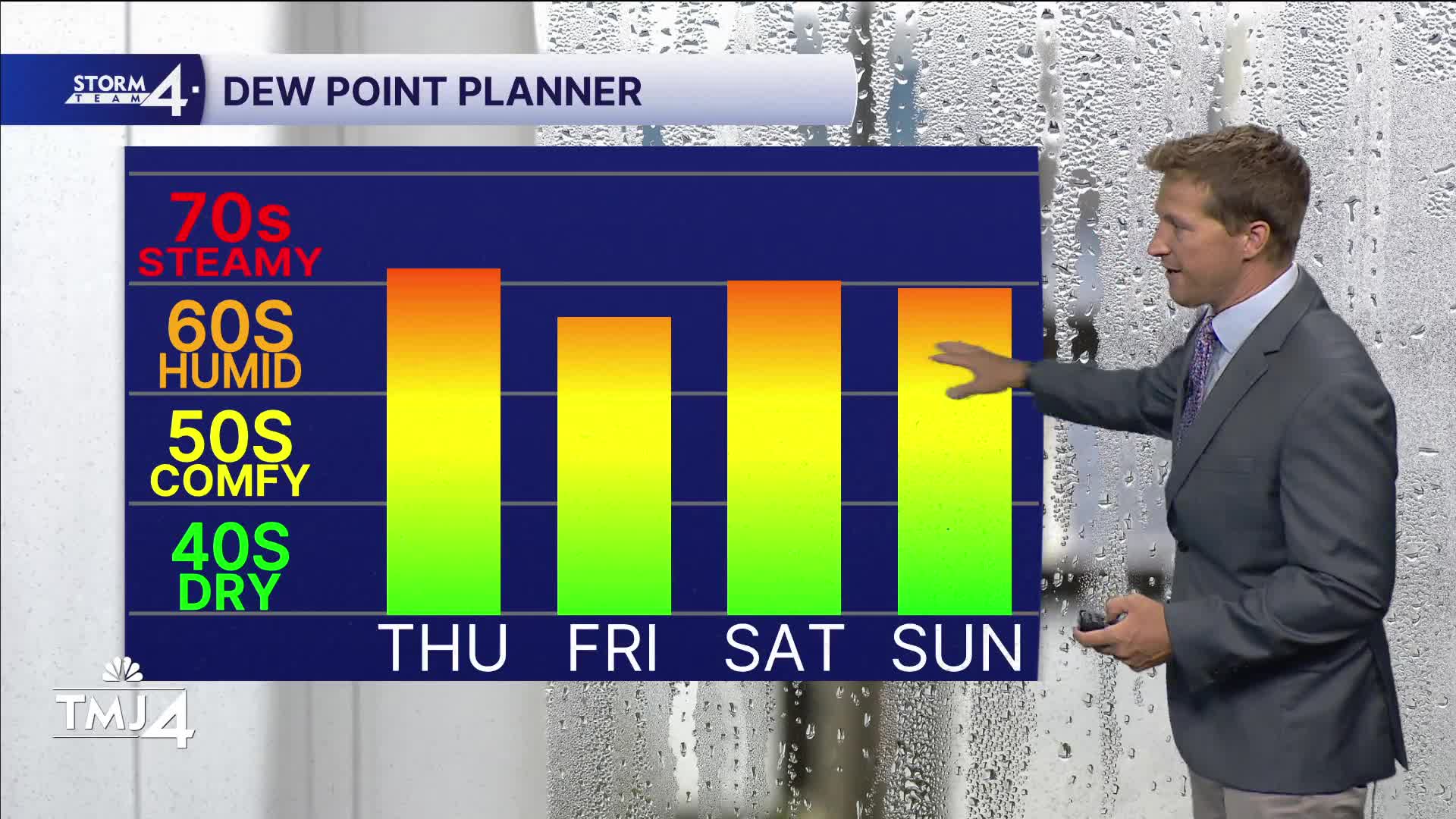


Tropical dew points in the 70s have engulfed much of the Midwest, and there isn't much relief from the humidity on the way. Expect another muggy night tonight along with areas of fog.
The high humidity will lead to more rain chances in the coming days.
There is a decent chance for some rain around midday tomorrow, but most of the heavy action should once again dive to our south. There is a slight chance for showers on Friday, followed by better chances of showers and storm and storms over the weekend.
TONIGHT: Muggy With Areas of Fog
Low: 68
Wind: Calm
THURSDAY: Mostly Cloudy and Muggy. Ch. Midday Rain
High: 78
Wind: E 5 mph
FRIDAY: Partly Cloudy with Ch. Showers
High: 78
SATURDAY: Mostly Cloudy, Warm, and Humid with Showers and Storms Likely
High: 85
SUNDAY: Partly cloudy, Warm and Humid, with Ch. T-Storms
High: 84
It’s about time to watch on your time. Stream local news and weather 24/7 by searching for “TMJ4” on your device.
Available for download on Roku, Apple TV, Amazon Fire TV, and more.
