



Another fabulous day on tap with highs in the low 80s and low humidity. An approaching cold front will increase clouds and rain chances overnight.
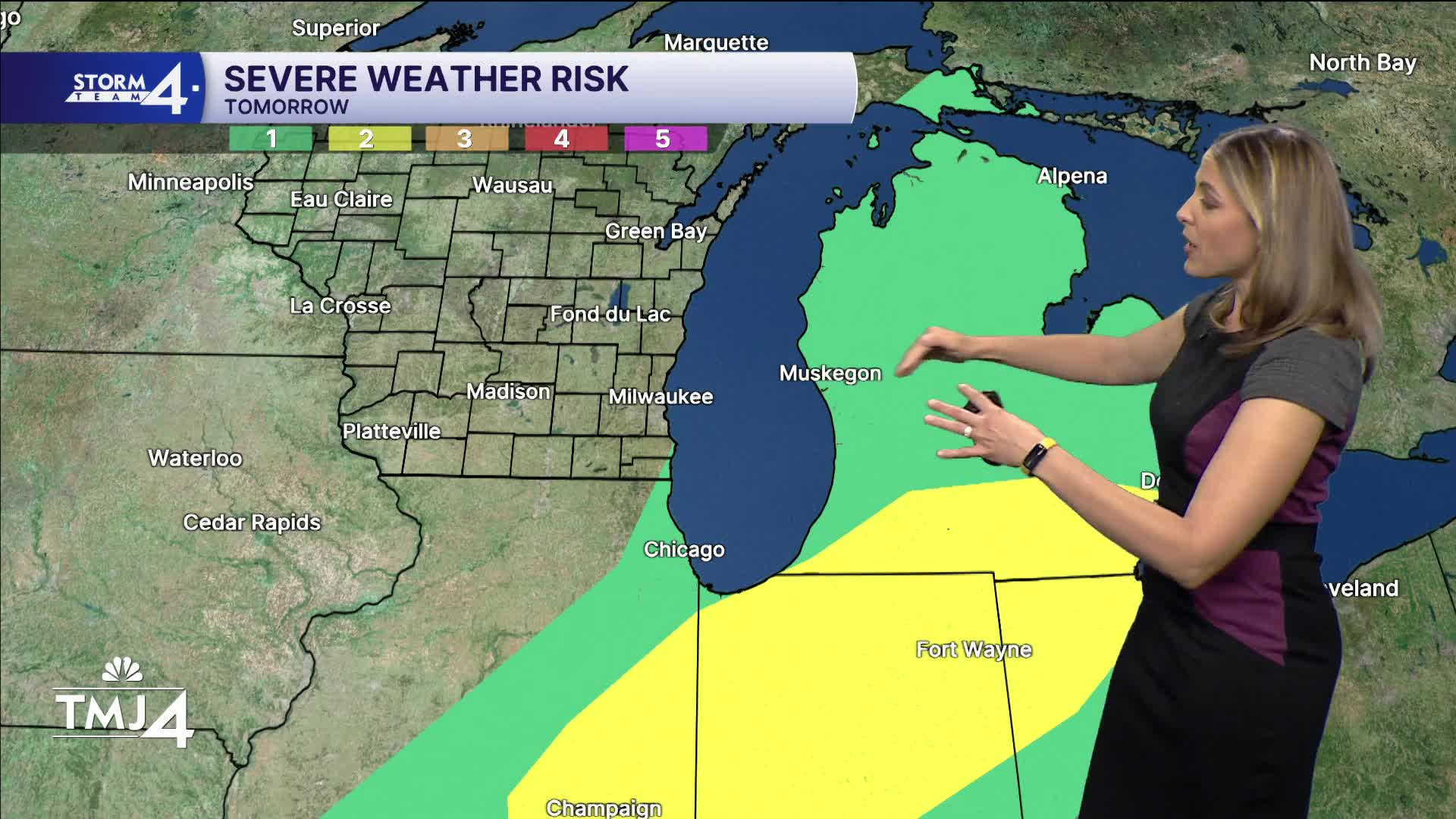
Right now, we're looking at a midnight to 6am chance of scattered showers, and potentially a rumble. We're not expecting severe weather at this time.
Check out the forecast:
Wednesday, after that first line clears, you will notice it being more humid with higher dews and temps in the low 80s. As the frontal passage continues through the day, we could get a rogue pop up or two in the afternoon, but likely doesn't disrupt any plans you may have.
Thursday, dews are slow to drop with temps in the mid and upper 70s with winds returning off the lake SE 5 to 10 mph.
Friday, high pressure returns with lower dews and sunny skies.
A more active pattern returns going into the weekend with chance of showers and storms. Stay tuned for the latest on timing and impacts as we get closer. Highs will be in the low 80s and more muggy.
TONIGHT: Increasing clouds and humidity. A few overnight showers.
Low: 67
Wind: SW 5-10 mph
WEDNESDAY: Lingering showers exit early. Then pop ups in the afternoon.
High: 80
Wind: SW to W 5-10
THURSDAY: Return to Mostly Sunny. A little sticky.
High: 76
Wind: NW to SE 5-10
FRIDAY: Mostly Sunny and lower humidity.
High: 75
Wind: E 5-10
SATURDAY: Mostly cloudy, chance of showers.
High: 80
Wind: SW 5-10
SUNDAY: Mostly cloudy, chance of showers.
High: 82
Wind: SW 10-15
It’s about time to watch on your time. Stream local news and weather 24/7 by searching for “TMJ4” on your device.
Available for download on Roku, Apple TV, Amazon Fire TV, and more.
