

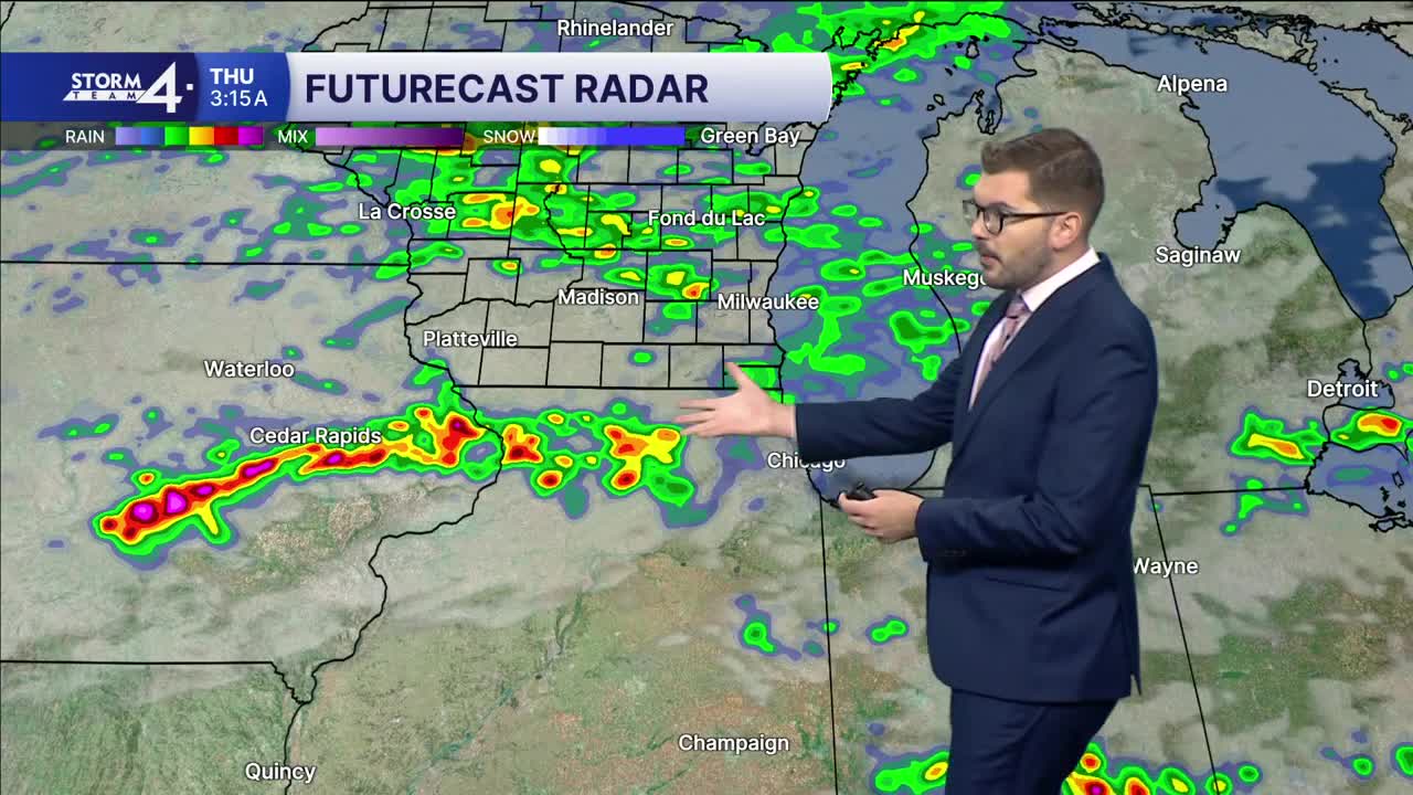


High-pressure is moving in behind yesterday’s rainfall. This has led to a drier trend for Wednesday & Thursday. That said, a few showers may still be possible close to the State Line. Temperatures will remain in the lower - mid 70s. This is near to slightly below normal for this point in September!
A round of scattered showers is possible late this evening and overnight before coming to a close mid-Thursday morning. Clouds will remain overhead tomorrow and Friday.
Another round of showers/storms rolls into Wisconsin on Friday. Most of the rain initially stays North, but then drifts southward late in the day. This rain chance may linger into Saturday as well as Sunday. Long-range models are indicating this could bring 2-3” of rainfall to the parts of the Badger State. Heavy rainfall is possible in parts of SE Wisconsin on Saturday. Stay with Storm Team 4 for updates!
WEDNESDAY: Mostly Cloudy; Slight Chance Showers South
High: 70
Wind: NE 10-15 mph
TONIGHT: Chance Showers; Mostly Cloudy
Low: 62
Wind: NE 5 mph
THURSDAY: AM Showers; Mostly Cloudy
High: 72
Wind: N 5 mph
FRIDAY: Mostly Cloudy; Chance Showers Late
High: 70
SATURDAY: Showers/Storms Likely; Heavy Rain Possible
High: 73
SUNDAY: Chance Showers; Mostly Cloudy
High: 68
It’s about time to watch on your time. Stream local news and weather 24/7 by searching for “TMJ4” on your device.
Available for download on Roku, Apple TV, Amazon Fire TV, and more.
