


Overnight lows will cool off into the low to mid 60s under mainly cloudy skies. A few spotty showers or isolated thundershowers remain possible, but coverage looks minimal.
Wednesday will be mostly cloudy with a few spotty showers early in the day, with a better chance for isolated storms by evening. A few strong storms could produce damaging winds and very heavy rain. Highs will be in the 70s near the lake, in the 80s inland. Another wave of rain and storms is likely from late Wednesday night into early Thursday.
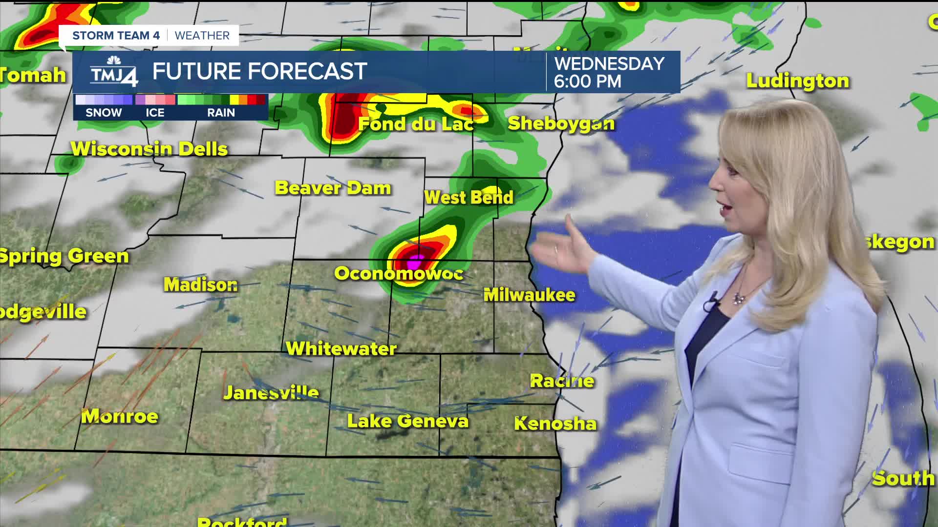
When showers could hit Wednesday:
Thursday highs climb right back into the 80s area wide with off and on rain and storms. Friday shower coverage looks minimal with warm temperatures and high humidity.
The weekend will be very warm and humid. Saturday looks dry at this point, with a chance for rain and storms back for Sunday.
TONIGHT: Iso. Rain or T-Shower
Low: 63
Wind: NNE 5-10 mph
WEDNESDAY: Mostly Cloudy, Isolated Rain/Storms
High: 74 lake, 85 inland
Wind: E 5-10 mph
THURSDAY: Scattered Storms
High: 85
FRIDAY: Isolated Storm Chance
High: 85
SATURDAY: Partly Cloudy
High: 86
SUNDAY: Partly Cloudy, Chance Storms
High: 88
It’s about time to watch on your time. Stream local news and weather 24/7 by searching for “TMJ4” on your device.
Available for download on Roku, Apple TV, Amazon Fire TV, and more.
