

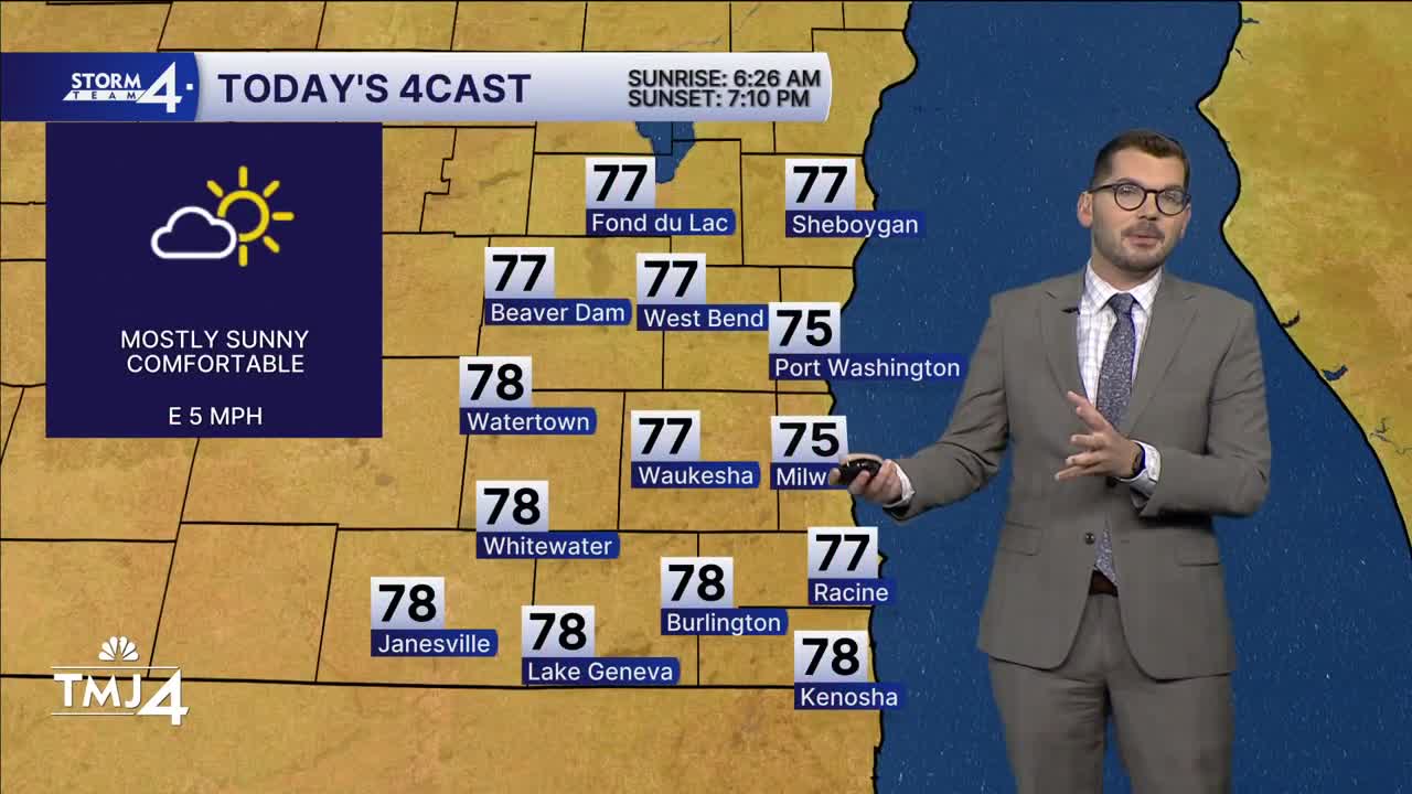


Cooler and drier has moved in overnight — allowing lows to fall back into the 60s. However, the biggest change is in the dew points — these have fallen into the 50s. The comfortable weather sticks around this afternoon and tomorrow as highs remain in the mid-70s.
Southerly winds kick back in over the weekend. There is a slight chance for a few showers on Saturday. The best chance of rain arrives late Sunday night into Monday. Additional showers and storms are possible as a frontal boundary moves across the state Monday & Tuesday. There is some uncertainty as to when the front will clear the state - hence the chance of rain carrying over into Tuesday. Unsettled weather may continue into Wednesday.
Highs briefly spike to 80 on Monday before falling into the 70s later in the week.
THURSDAY: Mostly Sunny and Beautiful
High: 75
Wind: E 5 mph
TONIGHT: Mainly Clear
Low: 58
Wind: SW 5 mph
FRIDAY: Mostly Sunny
High: 75
Wind: SW/S 5-15 mph
SATURDAY: Warm & Humid; Slight Chance Showers
High: 81
SUNDAY: Partly Cloudy; Chance PM Showers/Storms
High: 73
MONDAY: Chance Showers/Storms; Mostly Cloudy
High: 80
It’s about time to watch on your time. Stream local news and weather 24/7 by searching for “TMJ4” on your device.
Available for download on Roku, Apple TV, Amazon Fire TV, and more.
