

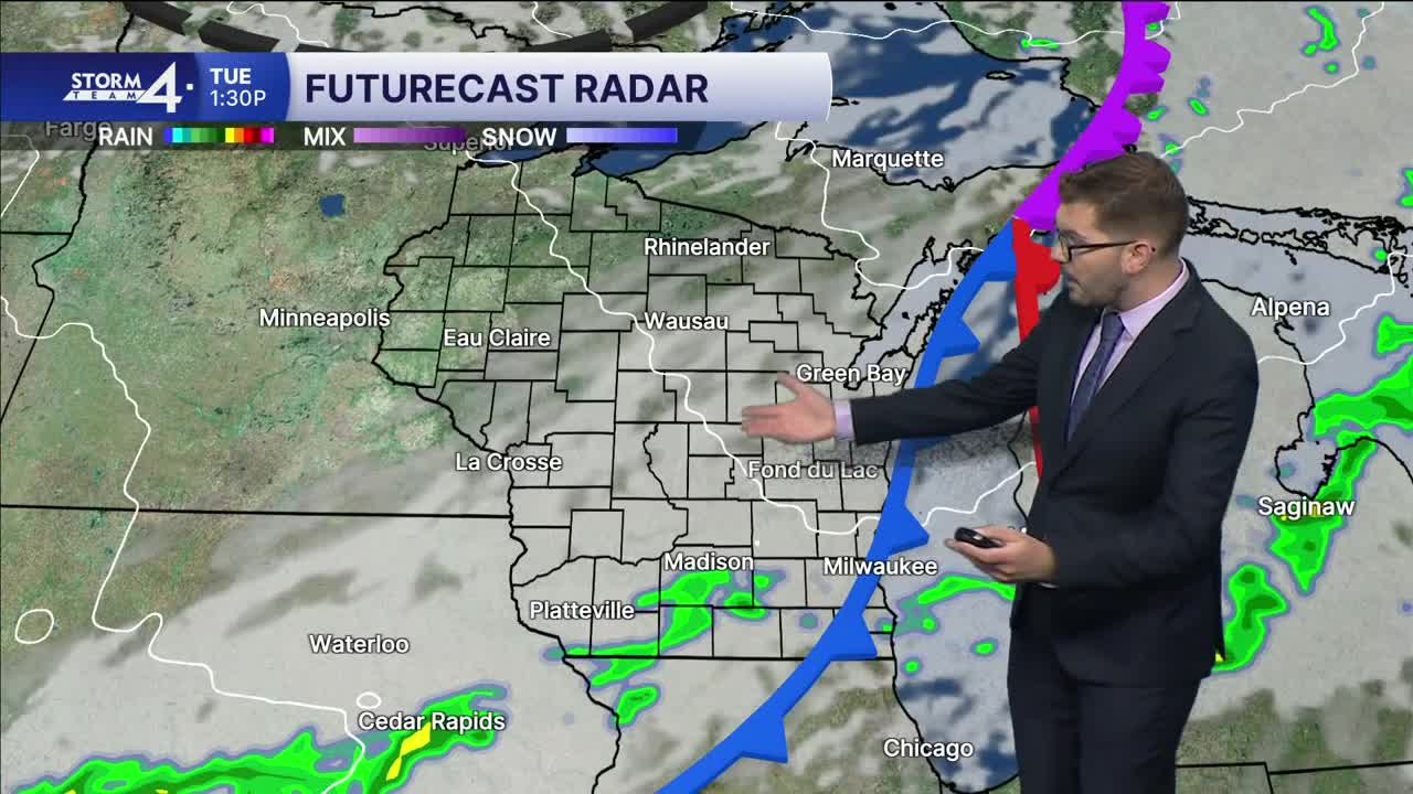


Scattered showers and storms have been ongoing overnight — with the heaviest rain splitting around SE Wisconsin. A brief lull may give way to additional rain moving in from Iowa. That said, repeated rounds of moderate to heavy rain remain possible through mid-morning. Showers will settle South of the Stateline this afternoon. Much of SE Wisconsin should pick up between 0.25" and 0.75" of rain. Highs only climb into the 70s.
Storm Team 4 is monitoring an area of high-pressure that moves in during the mid-week period. The latest model runs have shown this High moving a bit farther South — thus pushing rain chances farther South for much of Wednesday. The next best chance of showers and storms arrives late Wednesday into Thursday. However, this could be offset by the position of the High and a stalled frontal boundary to the South. Stay tuned for updates!
High temperatures will remain slightly below average with increased cloud cover and rain chances through much of the week ahead. More rain is expected Friday and into the weekend.
TUESDAY: AM Rain, Chance Thunder; Mostly Cloudy
High: 76
Wind: SW 10-15 mph
TONIGHT: Partly Cloudy
Low: 61
Wind: NW 5 mph
WEDNESDAY: Partly Cloudy; Chance PM Rain/Storm South
High: 70
THURSDAY: Slight Chance Showers/Storm South; Mostly Cloudy
High: 73
FRIDAY: Chance Showers
High: 70
SATURDAY: Chance Showers/Storms; Mostly Cloudy
High: 75
It’s about time to watch on your time. Stream local news and weather 24/7 by searching for “TMJ4” on your device.
Available for download on Roku, Apple TV, Amazon Fire TV, and more.
