



Overnight lows have struggled to cool down — only falling into the 70s across most of the region. Some upper 50s & 60s have snuck in farther North — allowing patchy dense fog to develop. Sunshine is back overhead today as highs climb back into the lower-mid 70s.
Tonight, a cold front will drop farther South. A few showers/storms are possible along this frontal boundary before it leaves the area. There is a slight chance for a few spotty showers/storms - mainly South of I-94. Lows tumble into the upper 50s.
Clouds return on Wednesday, but much of the day will be dry. Highs remain in the lower 60s.
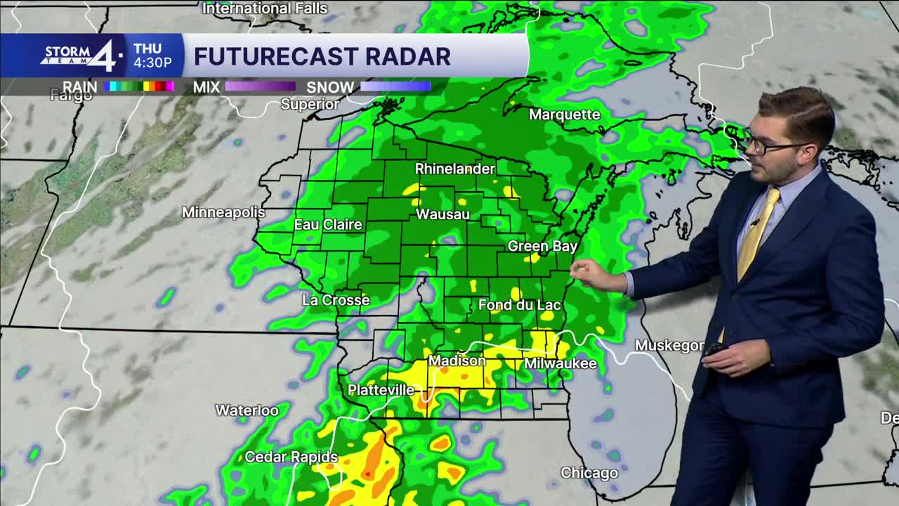
Two merging areas of low-pressure then head towards Wisconsin on Thursday. Widespread showers are expected. Highs will top out only in the mid-50s. As the low-pressure areas depart, gusty NW winds will bring in even cooler air on Friday. Gusts could top 35 - 40 mph.
As winds calm Friday night, there is a chance for our first widespread frost in southern Wisconsin. Lows are expected to fall back into the 30s — including near Milwaukee.
TUESDAY: Mostly Sunny
High: 75
Wind: W 5-10 mph
TONIGHT: Slight Chance Showers/Storm - Mainly South; Mostly Cloudy
Low: 57
Wind: N 5 mph
WEDNESDAY: Mostly Cloudy
High: 63
Wind: NE 5-15 mph
THURSDAY: Showers Likely; Cloudy
High: 60
FRIDAY: Sunny, Cooler & Windy
High: 55
Wind: NW 20-25 G 35 mph
SATURDAY: AM Frost Likely; Mostly Sunny
High: 56
It’s about time to watch on your time. Stream local news and weather 24/7 by searching for “TMJ4” on your device.
Available for download on Roku, Apple TV, Amazon Fire TV, and more.
