

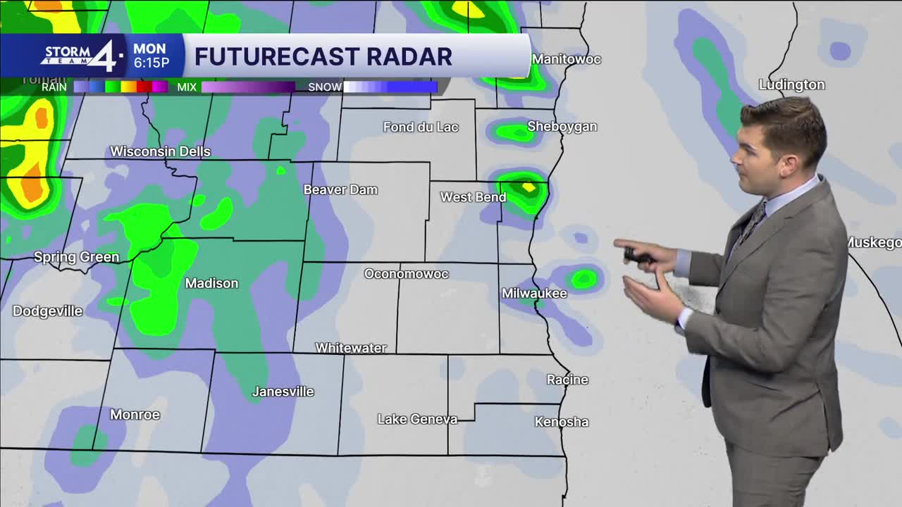


A few sprinkles have persisted overnight, but this rain will largely come to a close as our next weather system approaches from the West. Overnight lows have fallen into the 50s under a cloudy sky.
An area of low-pressure is moving off the Rocky Mountains and brings widespread showers to Wisconsin starting today. Most of the rain stays far northwest early on, but will spread into Milwaukee and Southeast Wisconsin overnight and into Tuesday. A few embedded rumbles of thunder are possible — along with a couple heavier downpours.
Scattered showers may persist into Wednesday as the low pushes Eastward. 48-hour rainfall totals may reach 0.5 - 1.0”. Highs will top out in the mid-60s today and may even reach 70 tomorrow!
One the rain moves out on Wednesday, quieter weather is expected to close out the week. Highs will fall back into the 50s.
MONDAY: Mostly Cloudy & Breezy; Slight Chance Shower
High: 63
Wind: S 5-15 G 25 mph
TONIGHT: Chance Showers; Cloudy & Breezy
Low: 58
Wind: S 15-20 G 30 mph
TUESDAY: Showers Likely; Breezy
High: 70
Wind: S 15-20 G 30 mph
WEDNESDAY: Chance AM Showers; Mostly Cloudy
High: 63
THURSDAY: Slight Chance Shower; Mostly Cloudy
High: 58
FRIDAY: Mostly Cloudy
High: 53
It’s about time to watch on your time. Stream local news and weather 24/7 by searching for “TMJ4” on your device.
Available for download on Roku, Apple TV, Amazon Fire TV, and more.
