

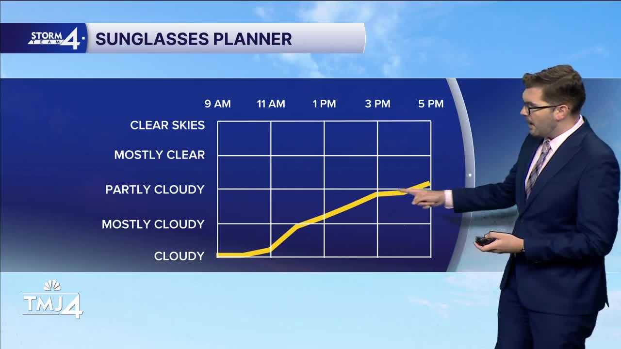


Hit and miss showers evolved into widespread rain overnight. Most of the consistent rain has remained near the State Line. Showers will come to a close from North to South by mid-morning. Cloud cover will give way to afternoon sunshine. Highs top out in the 80s with dew points in the 60s.
The impact of the cold front will be felt Thursday & Friday. Overnight lows drop into the lower 60s. Lower dew points and highs in the 70s will cap off the work week. Sunshine sticks around for Friday. A few more clouds are expected on Saturday with a slight chance for showers.
Better shower and storm chances come together late Sunday into Monday & Tuesday.
WEDNESDAY: Morning Rain; Gradual Return to Sunshine
High: 80
Wind: W 10 mph
TONIGHT: Partly Cloudy
Low: 62
Wind: NW 5-10 mph
THURSDAY: Mostly Sunny
High: 74
Wind: W 5 mph
FRIDAY: Sunny
High: 75
SATURDAY: Partly Cloudy; Slight Chance Shower
High: 79
SUNDAY: Chance PM Showers/Storms; Partly Sunny
High: 73
It’s about time to watch on your time. Stream local news and weather 24/7 by searching for “TMJ4” on your device.
Available for download on Roku, Apple TV, Amazon Fire TV, and more.
