

A very minimal shower chance will be around Sunday evening for inland locations, but overall, the forecast remains dry. Lows will drop into the upper 50s to low 60s.
A much more summer like feel will be around this week into the coming weekend with heat, humidity, and rain and storm chances.
Monday brings an isolated shower chance through the day, but coverage looks minimal. Highs will warm into the upper 70s near the lake with mid 80s inland.
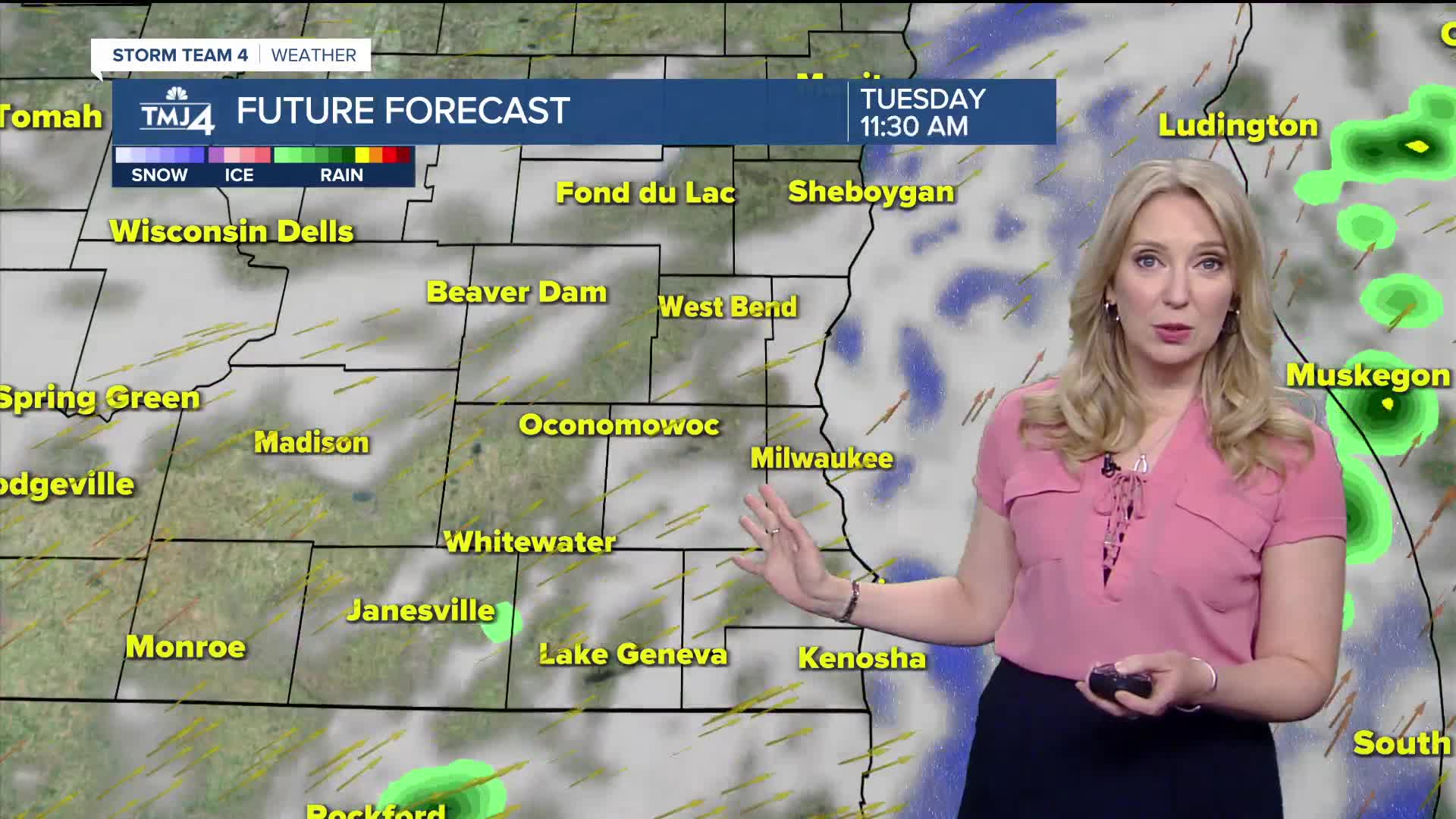
A cold front will trigger more showers and storms on Tuesday, a few storms late Tuesday could be on the strong side. Highs will warm into the 80s area wide with dew points well into the 60s.
Wednesday remains unsettled with rain and storms looking likely. Thursday and Friday the shower chance drops but does not go away completely. Be sure to check back for the latest on the Juneteenth forecast.
Next weekend looks hot with highs climbing to near 90-degrees.
TONIGHT: Partly Cloudy
Low: 58
Wind: Var 5 mph
MONDAY: Partly Cloudy, Spotty Rain, T-Showers
High: 78 Lake 85 Inland
Wind: S 5-10 mph
TUESDAY: Sct. Showers/storms; Warm & Humid
High: 85
WEDNESDAY: Rain/storms Likely
High: 77
THURSDAY: Partly Cloudy, Slight Ch. Shower Late
High: 78
FRIDAY: Partly Cloudy, Ch. T-Shower Late
High: 77
It’s about time to watch on your time. Stream local news and weather 24/7 by searching for “TMJ4” on your device.
Available for download on Roku, Apple TV, Amazon Fire TV, and more.
