

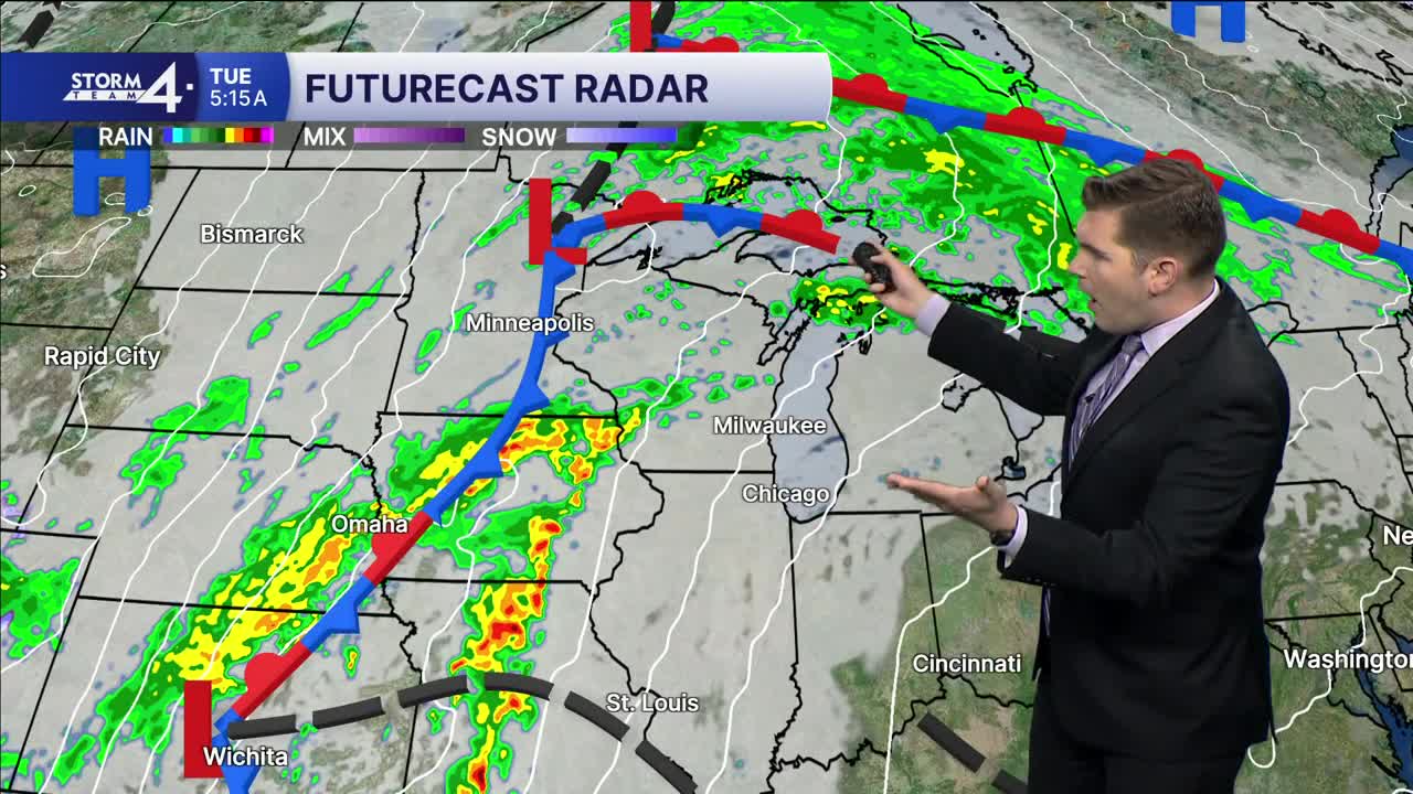


Overnight temperatures have only fallen into the 60s thanks to cloud cover and ongoing showers. The on & off rain will continue through most of the day as low pressure approaches from the West. Later this evening, steady rain spreads into southern Wisconsin. Southerly winds may gust as high as 30 mph. As a result, high temperatures may make a run towards 70-degrees.
Additional on & off showers will continue through the night and into Wednesday. Highs remain in the mid-60s.
A few wrap-around showers are possible Thursday before the entire system moves off. Temperatures will fall back into the 50s by Thursday and Friday. Cooler and drier conditions are expected over the weekend.
TUESDAY: Early Showers; PM Rain Likely
High: 68
Wind: S 15-20 G 30 mph
TONIGHT: Rain Likely; Breezy & Cloudy
Low: 56
Wind: S 10-15 mph
WEDNESDAY: Showers Likely
High: 64
Wind: S 10-15 mph
THURSDAY: Chance Showers; Mostly Cloudy
High: 55
FRIDAY: Slight Chance AM Showers; Partly Cloudy
High: 51
SATURDAY: Partly Cloudy
High: 51
It’s about time to watch on your time. Stream local news and weather 24/7 by searching for “TMJ4” on your device.
Available for download on Roku, Apple TV, Amazon Fire TV, and more.
