



Pleasant this evening, with lows dropping to the low 60s and increasing clouds.
A cold front arrives Friday with a few showers in the morning. But it slows down into the afternoon, and this may trigger an afternoon-evening event with scattered thunderstorms. If there's enough energy and clearing from the morning, some of these could be on the strong side with mainly a wind and hail threat.
Highs will be in the low 80s and much more humid.
Check out the forecast:
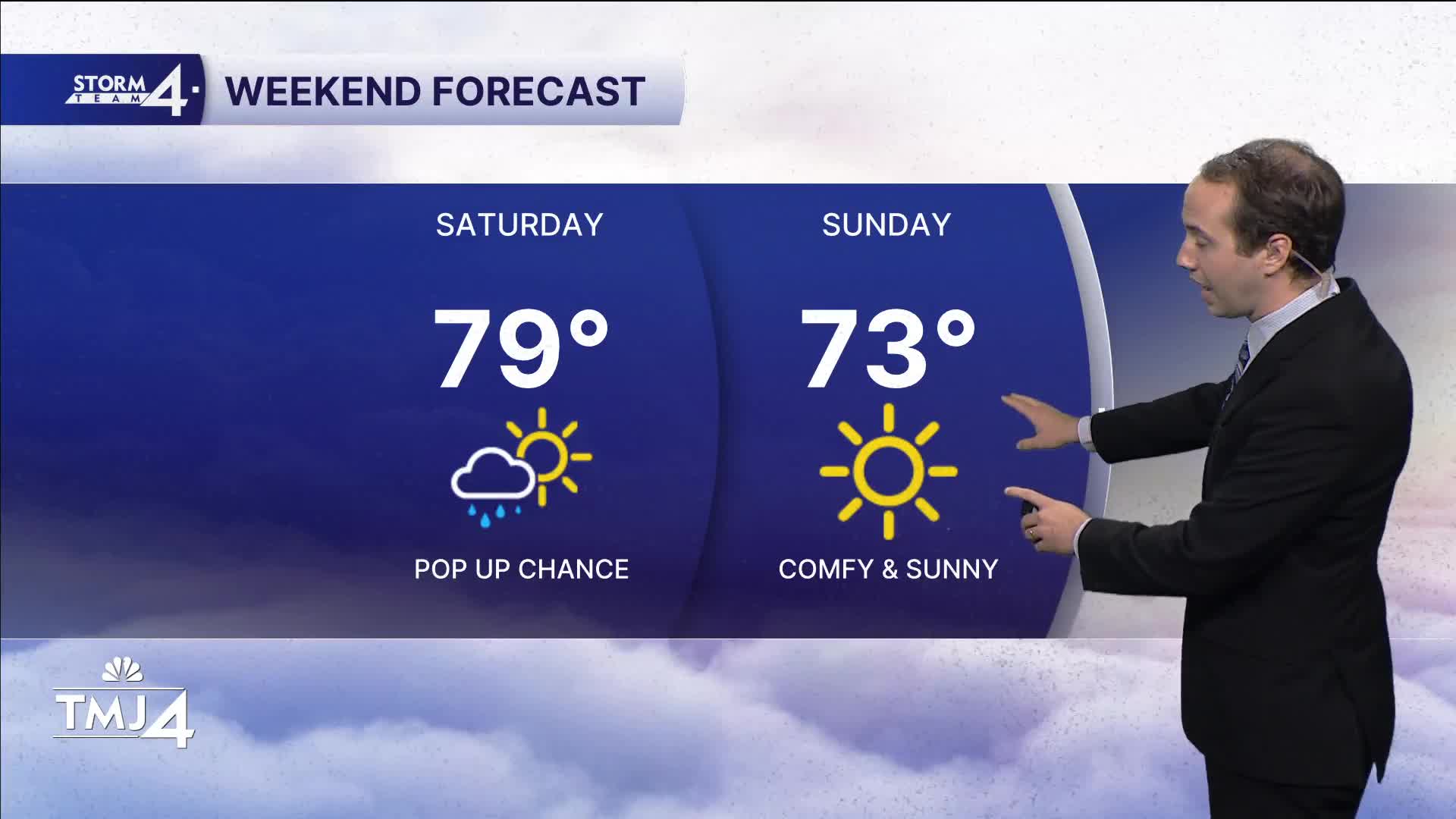
The weekend is mainly solid, with upper 70s and sticky Saturday. Saturday also features a pop-up rain chance to watch for, but it won't last long as another boundary slips south of our area.
Sunday is much cooler and drier with highs in the low to mid-70s.
Next week starts calm with low 70s Monday and low dews.
TONIGHT: Increasing clouds and humidity.
Low: 63
Wind: S 5-10
FRIDAY: Chance showers in the morning, then storm chances in the afternoon and evening. Some may be strong.
High: 81
Wind: SW 5-10
SATURDAY: Chance of a pop up. Otherwise sunny and sticky
High: 79
Wind: NW 5-10
SUNDAY: Cooler and less humid.
High: 73
Wind: NW 5-10
MONDAY : Sunny and comfortable.
High: 74
Wind: N to SE 5-10
TUESDAY: Partly cloudy, sl chance
High: 80
Wind: SW 10-15
It’s about time to watch on your time. Stream local news and weather 24/7 by searching for “TMJ4” on your device.
Available for download on Roku, Apple TV, Amazon Fire TV, and more.
