



Temperatures have only fallen into the 50s & 60s early Monday morning with some clouds around.
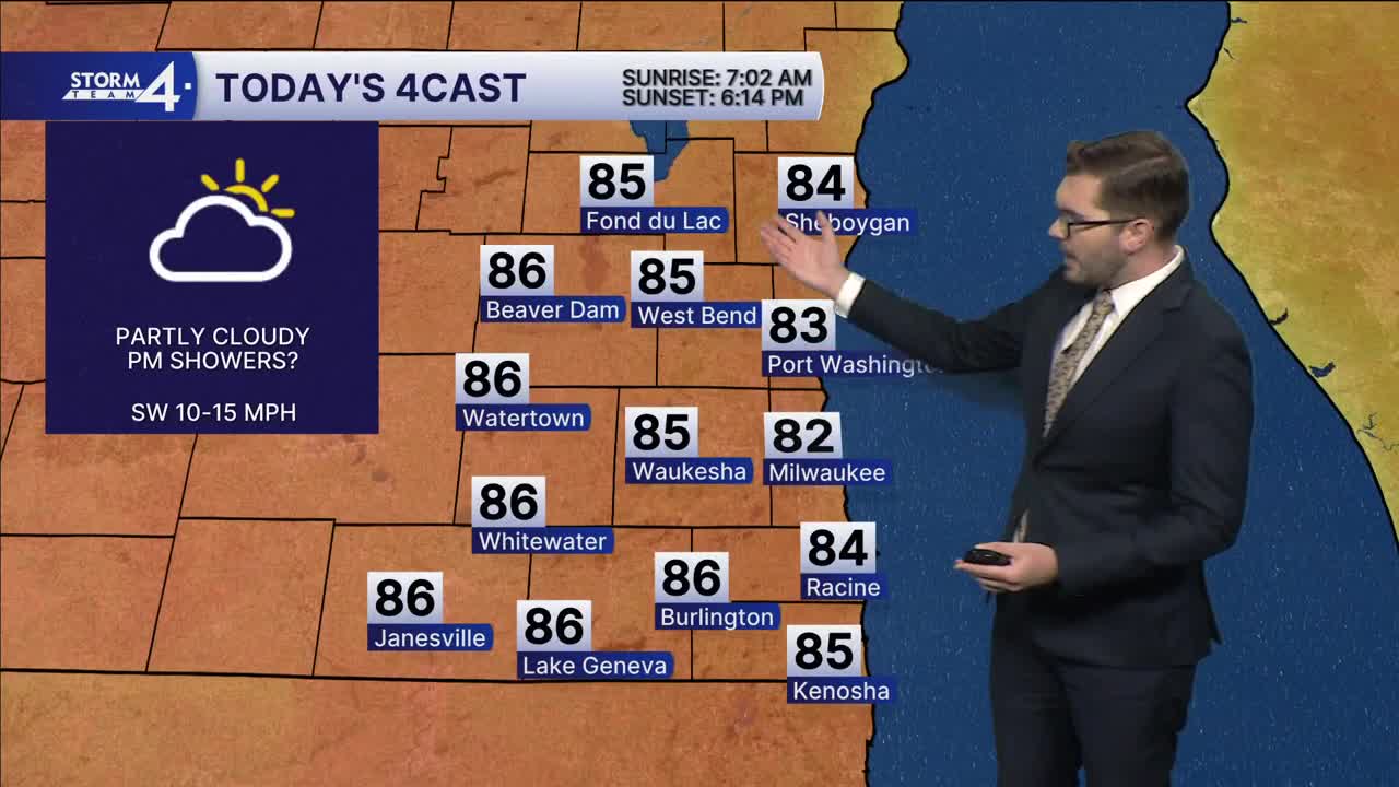
Southerly winds pick up again for Monday — giving SE Wisconsin another chance at flirting with 80-degree high temperatures. Sunshine filters through the parting cloud cover. By evening, some clouds may roll back in. Spotty showers/storms are expected to develop in the corridor of warm air. However, dry air will greatly limit the coverage and extent of the rain. Most hi-res models keep SE Wisconsin completely dry this evening. That said, there is a slight chance for a few spotty showers this evening - mainly after sunset.
Overnight lows fall into the mid-60s. Sunshine returns on Tuesday as winds turn out of the NW. Highs fall into the mid-70s. Cooler conditions return for much of the week ahead.
More widespread rain is expected late Tuesday night into Wednesday. Additional showers are likely Thursday & Friday. Stay with Storm Team 4 for updates!
MONDAY: Partly Cloudy; Slight Chance PM Showers
High: 82
Wind: SW 10-15 mph
TONIGHT: Partly Cloudy
Low: 66
Wind: SW 5-10 mph
TUESDAY: Mostly Sunny; Chance PM Showers
High: 76
Wind: W 5-15 mph
WEDNESDAY: Chance Showers
High: 65
THURSDAY: Showers Likely
High: 62
FRIDAY: Mostly Sunny, Windy & Cooler
High: 55
It’s about time to watch on your time. Stream local news and weather 24/7 by searching for “TMJ4” on your device.
Available for download on Roku, Apple TV, Amazon Fire TV, and more.
