



MILWAUKEE — After a warmer and more humid day, there is still a very slim chance an isolated shower pops up this evening. If you happen to land under this stray shower, it won't last very long. You can expect quiet weather for the rest of the night.
The rest of the work week looks uneventful, but things may pick up over this weekend. Storm chances return Saturday night and into Sunday. We may end up with multiple rounds of storms that continue right into the upcoming work week.
TONIGHT: Isolated Shower Early. Partly Cloudy
Low: 63
Wind: NW 5-10 mph
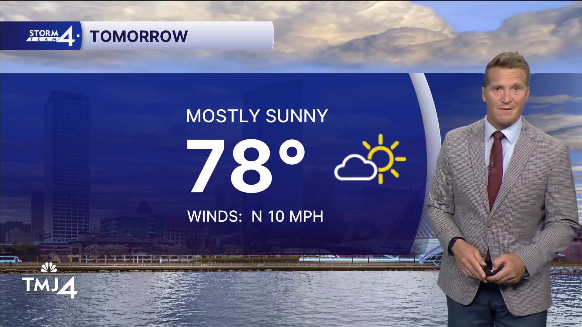
THURSDAY: Mostly Sunny and Pleasant
High: 78
Wind: NW to E 10 mph
FRIDAY: Mostly Sunny
High: 81
SATURDAY: Partly Cloudy and Warm. Ch. Showers/Storms Late
High: 83
SUNDAY: Partly Cloudy, Warm, and Humid. Ch. Showers/Storms
High: 85
It’s about time to watch on your time. Stream local news and weather 24/7 by searching for “TMJ4” on your device.
Available for download on Roku, Apple TV, Amazon Fire TV, and more.
