

Our highs made it back to the 80s for all of Southeast Wisconsin today! Not quite record breaking; the record stands at 90 degrees for Milwaukee.
We had a line of storms pass through this morning that brought gusty winds and a bit of rain.
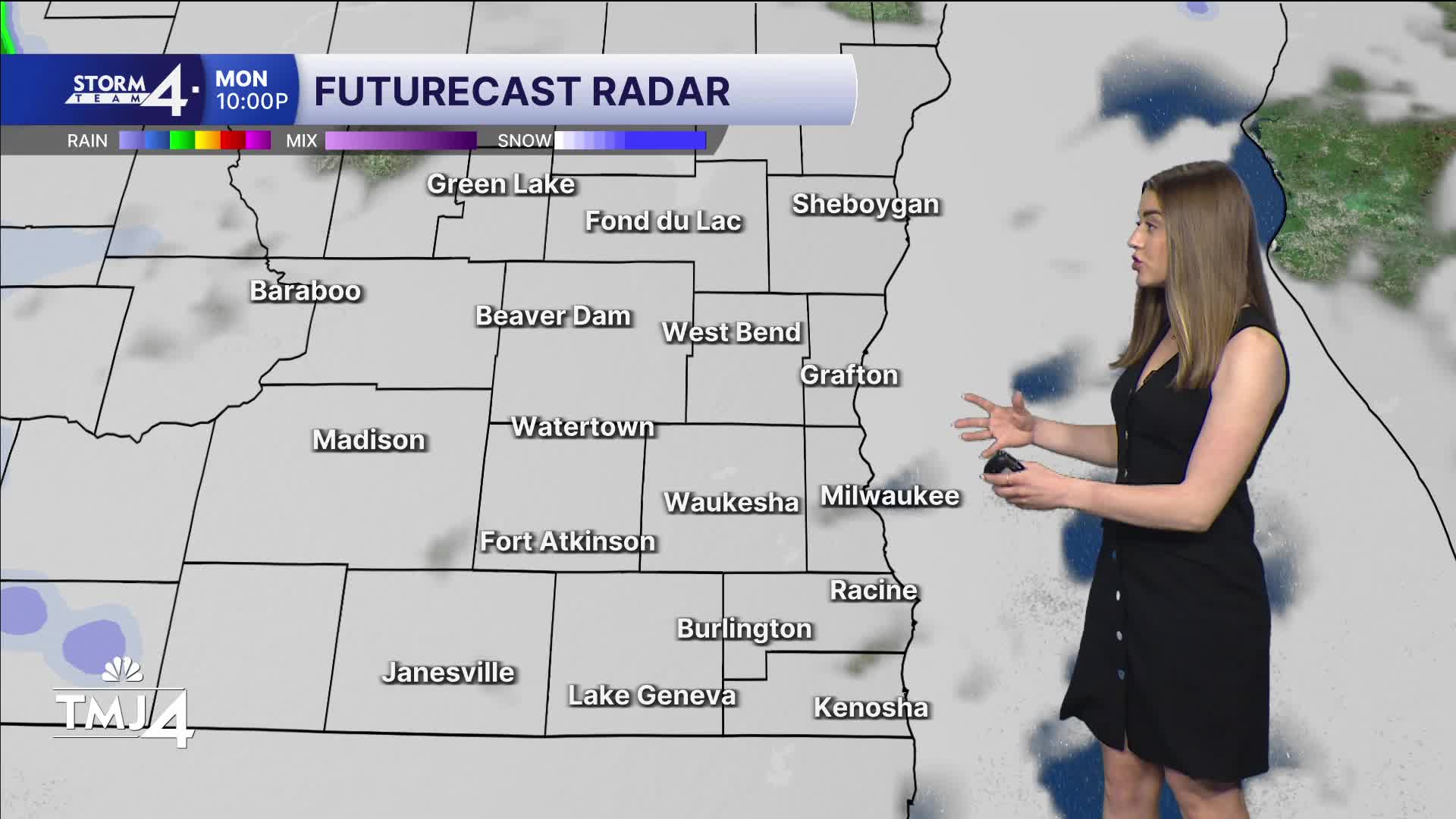
We have a small chance of seeing storms fire this evening, but newer models suggest these storms stay capped. Don't let your guard down completely. Storms are more likely after midnight.
A cold front will pass through Wisconsin and has the potential to trigger strong storms. These storms are in Nebraska and Kansas. The big question will be how strong the storms will be when they make it to us.
WATCH: Southeast Wisconsin weather: More storms ahead
High temperatures will make it to 80 again on Tuesday. It will feel sticky with dew points in the 60s. Wednesday is really when we see our temperatures return to normal and fall below normal. Temperatures are in the 50s with sunny skies and dry air.
70s are possible again into the weekend.
TONIGHT: Chance of Showers/Storms After Midnight
Low: 65
Wind: SW 5-15 mph
TUESDAY: Ch. Showers/Storms Early. Possibly Severe - Bec. Partly Cloudy
High: 77
Wind: S 10-20 mph
WEDNESDAY: Mostly Sunny & Cooler
High: 58
Winds: NE 5-10 mph
THURSDAY: Mostly Sunny & Cooler
High: 58
FRIDAY: Chance Rain
High: 60
SATURDAY: Mostly Sunny
High: 70
It’s about time to watch on your time. Stream local news and weather 24/7 by searching for “TMJ4” on your device.
Available for download on Roku, Apple TV, Amazon Fire TV, and more.
