

We've had some beautiful weather courtesy of an area of high pressure centered to our north. But this same high pressure is also ushering in the stream of smoke from Canada.
Later this week as the center of high pressure slowly progresses east, temperatures head up and the smoke should also ease up. In the meantime, expect the smoke to linger tonight and into tomorrow.
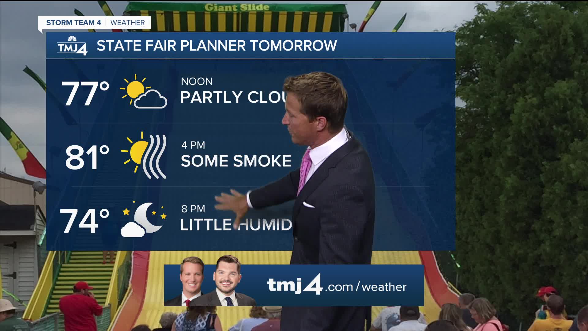
Summer heat returns as smoke and haze linger:
Humidity will also slowly rise through the week. The increase in humidity sets up small storm chances by the end of the week.
Temperatures return to 90 for the second weekend of the State Fair.
TONIGHT: Partly Cloudy with some smoke
Low: 63
Wind: NE 5 mph
TUESDAY: Hazy/Smoky Sun, Getting More Humid
High: 80
Wind: E 5-10 mph
WEDNESDAY: Partly Cloudy. Warm and Humid
High: 83
THURSDAY: Partly Cloudy, Warm, and Humid. Slight Ch. T-Storms
High: 86
FRIDAY: Partly Cloudy, Hot, and Humid. Ch. T-Storms
High: 90
It’s about time to watch on your time. Stream local news and weather 24/7 by searching for “TMJ4” on your device.
Available for download on Roku, Apple TV, Amazon Fire TV, and more.
