

After a brief break from the smoke last night, it's back again today. Air quality levels are once again falling into the unhealthy range. This round of smoke should be with us through tomorrow morning.
We'll then finally get a change in our weather pattern, which should kick the wildfire smoke out of here. This change in weather pattern brings a return of warmer temperatures and higher humidity for the rest of the week.
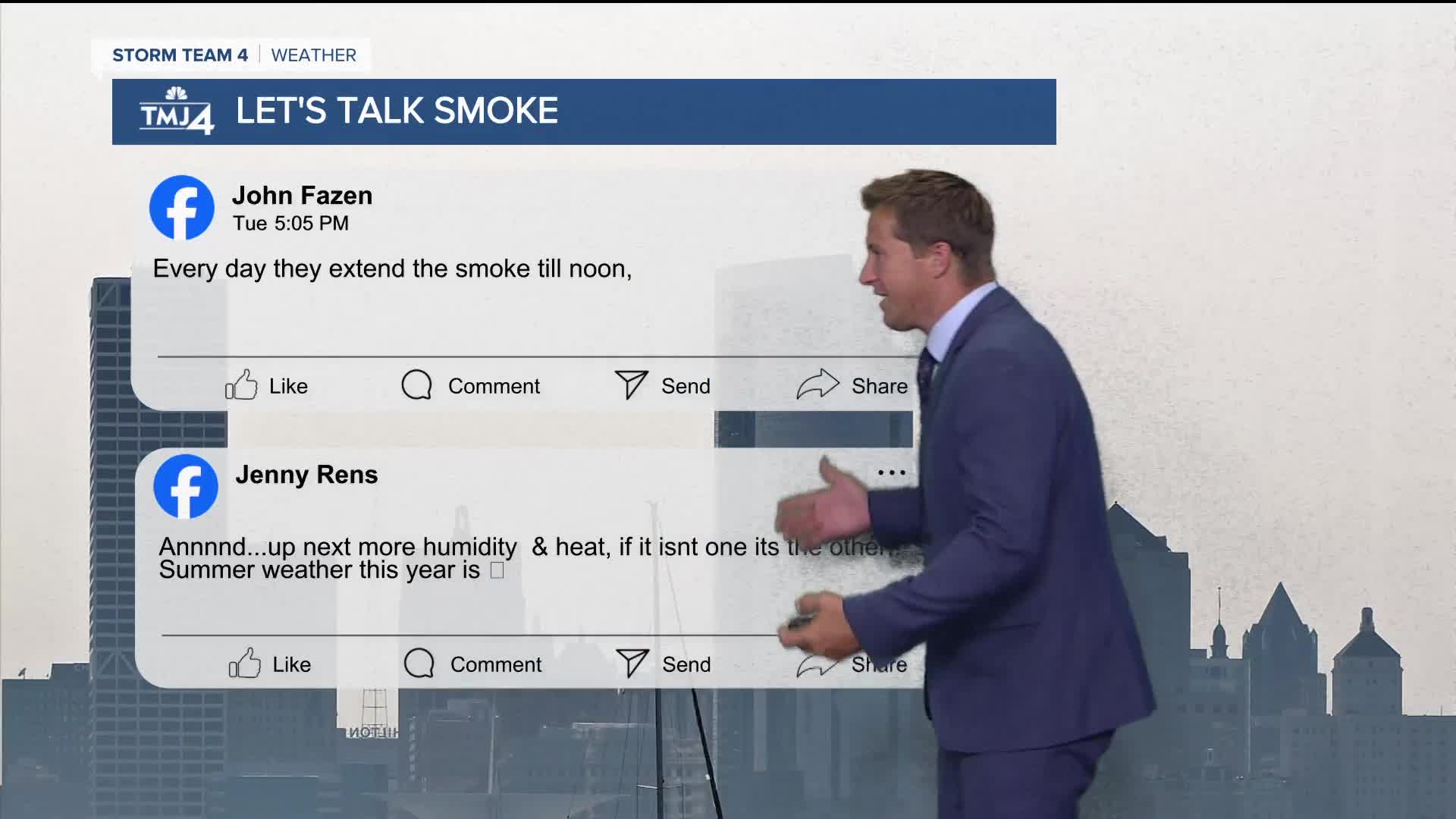
Watch: When heat and humidity return
We'll likely reach 90 degrees by this weekend. the higher heat and humidity may lead to a few pop up storms Thursday and Friday.
TONIGHT: Partly Cloudy with Some Smoke
Low: 65
Wind: NE 5 mph
WEDNESDAY: Smoke Early. Mostly Sunny and Warm
High: 83
Wind: E 5-10 mph
THURSDAY: Partly Cloudy, Warm, and Humid. Slight Ch. PM T-storms
High: 87
FRIDAY: Partly Cloudy, Hot, and Humid. Slight Ch. T-Storms
High: 90
SATURDAY: Partly Cloudy, Hot, and Humid
High: 92
It’s about time to watch on your time. Stream local news and weather 24/7 by searching for “TMJ4” on your device.
Available for download on Roku, Apple TV, Amazon Fire TV, and more.
