

AN AIR QUALITY ALERT WILL BE IN EFFECT FROM 8AM UNTIL 11PM SATURDAY FOR SHEBOYGAN, OZUAKEE, MILWAUKEE, RACINE, AND KENOSHA COUNTIES. ELEVATED LEVELS OF OZONE ARE EXPECTED TO BRING THE AIR QUALITY DOWN TO THE UNHEALTHY FOR SENSITIVE GROUPS CATEGORY.
Scattered showers and storms will move into SE WI this evening and continue tonight and into the overnight hours. Any storms will be capable of producing strong winds, very heavy rain, and lightning. If you have outdoor plans for Saturday night, keep an eye on the sky and be ready to head indoors if storms approach!
It will still be a warm and humid night with lows in the lower 70s.
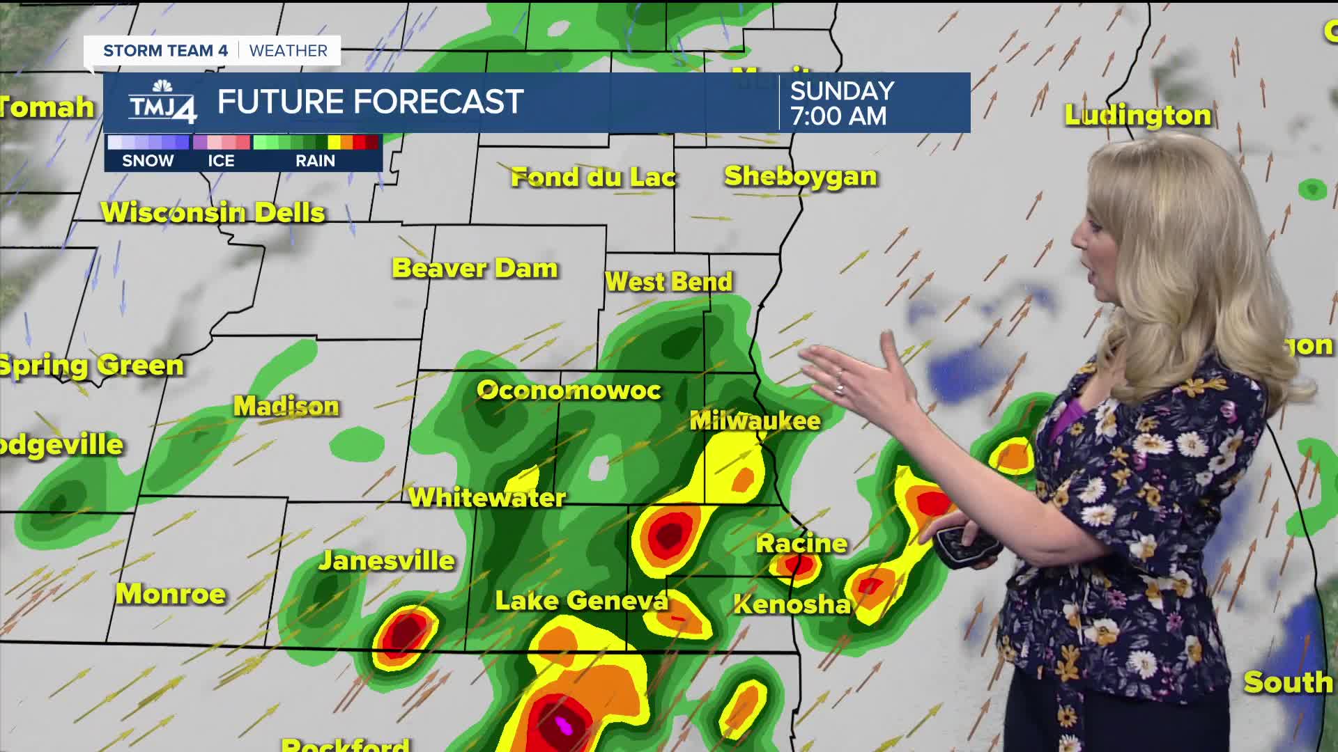
A cold front will clear the area Sunday morning. Early afternoon highs will get to near 80-degrees, but as winds turn out of the northeast, cooler air will move down the lakeshore, cooling temperatures to around 70-degrees by late afternoon. While it will not be a washout, scattered showers and storms will linger through much of Sunday.
Monday will be the best day of the week with highs in the upper 70s and lower humidity levels.
Pop-up showers and storms will be possible through the rest of the week, with highs in the low to mid 80s.
TONIGHT: Sct. Showers/Storms; Warm
Low: 72
Wind: SW 5-15 mph
SUNDAY: Scattered Showers & Storms; Mostly Cloudy
High: 78 early, lake cooling mid-day
Wind: N/NE 10-15 mph
MONDAY: Mostly Sunny
High: 77
TUESDAY: Partly Sunny; Slight Chance Storms
High: 85
WEDNESDAY: Mainly Cloudy, Sct. Showers/Storm
High: 80
THURSDAY: Mostly Sunny, Isolated Rain/Storm Chance
High: 81
It’s about time to watch on your time. Stream local news and weather 24/7 by searching for “TMJ4” on your device.
Available for download on Roku, Apple TV, Amazon Fire TV, and more.
