

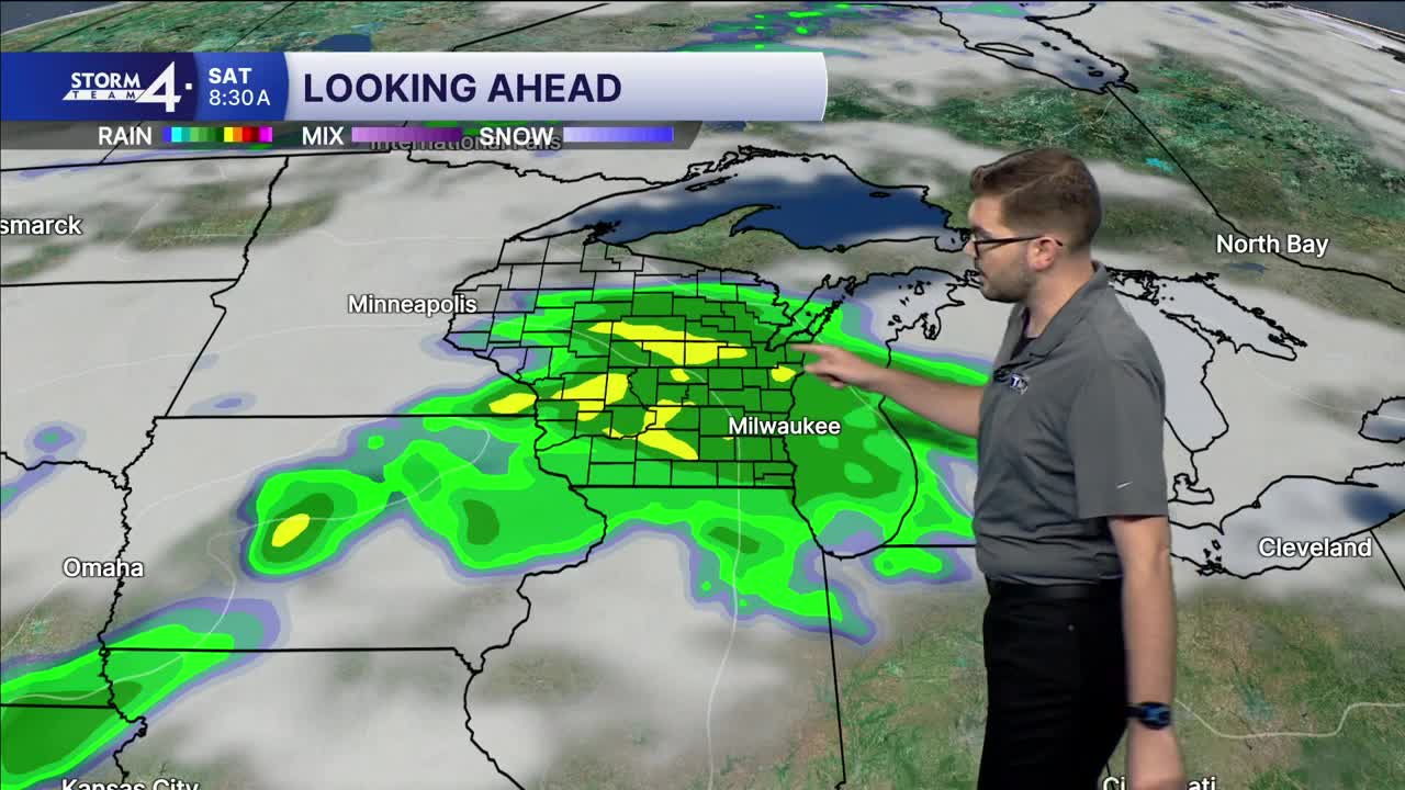


Meteorologist Brendan Johnson is in the community at Casera Cafe in Milwaukee's Harbor District! It's the perfect spot to grab a hot cup of coffee with the cool temps and rain around this morning!
Scattered showers have largely remained to the South overnight. However, a few showers are possible this morning before we stay in a lull this afternoon. Most of the rain will be confined to areas near & South of I-94. Highs remain in the upper 60s and lower 70s.
A cluster of showers/storms moves in from the Plains tomorrow morning. Most of the rain initially heads North — across central & northern Wisconsin. Later in the day, that rain will drop southward — impacting Milwaukee & SE Wisconsin. Periods of steady to heavy rain is possible overnight into Saturday morning. Rainfall totals of 1-2” are now possible — especially if any heavy pockets of rain linger too long. Some locally higher amounts are possible — mainly to the North of the TMJ4 viewing area.
Additional showers are possible Sunday & Monday. Highs remain near or just below-normal.
THURSDAY: Slight Chance Showers; Mostly Cloudy
High: 70
Wind: NE 5-10 mph
TONIGHT: Partly Cloudy
Low: 60
Wind: NE 5 mph
FRIDAY: Partly Cloudy; PM Rain Likely; Heavy Rain Possible
High: 70
Wind: E 5-10 mph
SATURDAY: Rainy; 1-2" Total Rain
High: 71
SUNDAY: Chance Showers/Storm; Mostly Cloudy & Breezy
High: 67
MONDAY: Chance Showers; Cloudy
High: 64
It’s about time to watch on your time. Stream local news and weather 24/7 by searching for “TMJ4” on your device.
Available for download on Roku, Apple TV, Amazon Fire TV, and more.
