

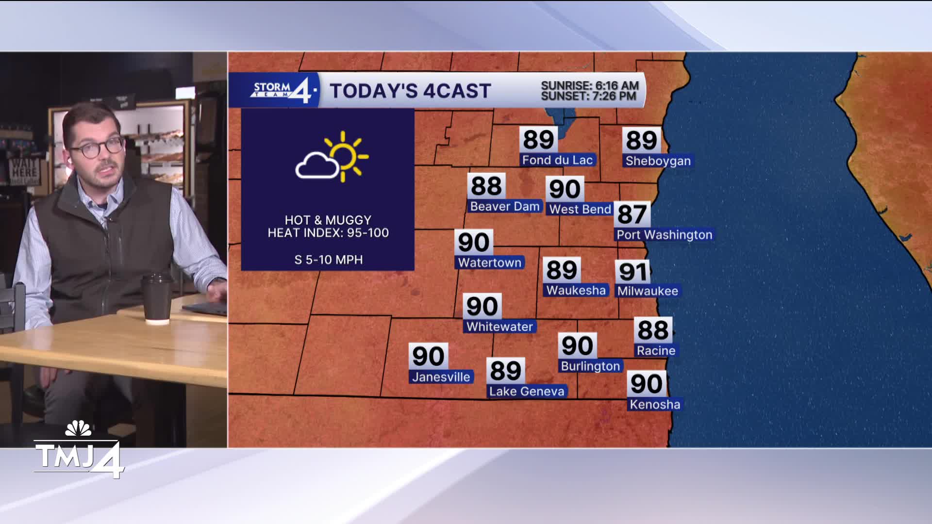


Meteorologist Brendan Johnson is in the community at Cranky Al’s on Wauwatosa’s East Side! Who knew you could get doughnuts AND pizza in the same place? And who thought we’d be talking about the heat index on the first day of September?!
A tropical-like air mass has set in across much of the Midwest - including SE Wisconsin. Overnight lows only fall back into the 70s. Some patchy dense fog is possible under light winds and saturation.
The overall weather pattern remains unsettled and Storm Team 4 is monitoring hit & miss rain chances in the days ahead. Most of Tuesday is expected to stay dry save for a pop-up or two this afternoon. If showers/storms are unable to break through the atmospheric “cap” (warm air aloft), the highs will likely climb into the lower 90s. Heat index values may reach between 95-100 degrees.
Small rain chances continue into Wednesday. A complex of showers/storms may roll through Wisconsin late Wednesday into Thursday. The timing and track will be monitored closely. Cooler and calmer conditions are expected late in the weekend.
TUESDAY: Mostly Sunny, Very Warm, Humid; Slight Ch. T-Storms
High: 91
Wind: S 5-10 mph
TONIGHT: Mostly Cloudy
Low: 73
Wind: SW 5 mph
WEDNESDAY: Mostly Sunny, Very Warm, and Humid; Slight Ch. Showers/Storms
High: 90
THURSDAY: Partly Cloudy and Humid; Ch. T-Storms
High: 83
FRIDAY: Chance Showers/Storms; Partly Cloudy
High: 83
SATURDAY: Mostly Sunny
High: 81
It’s about time to watch on your time. Stream local news and weather 24/7 by searching for “TMJ4” on your device.
Available for download on Roku, Apple TV, Amazon Fire TV, and more.
