

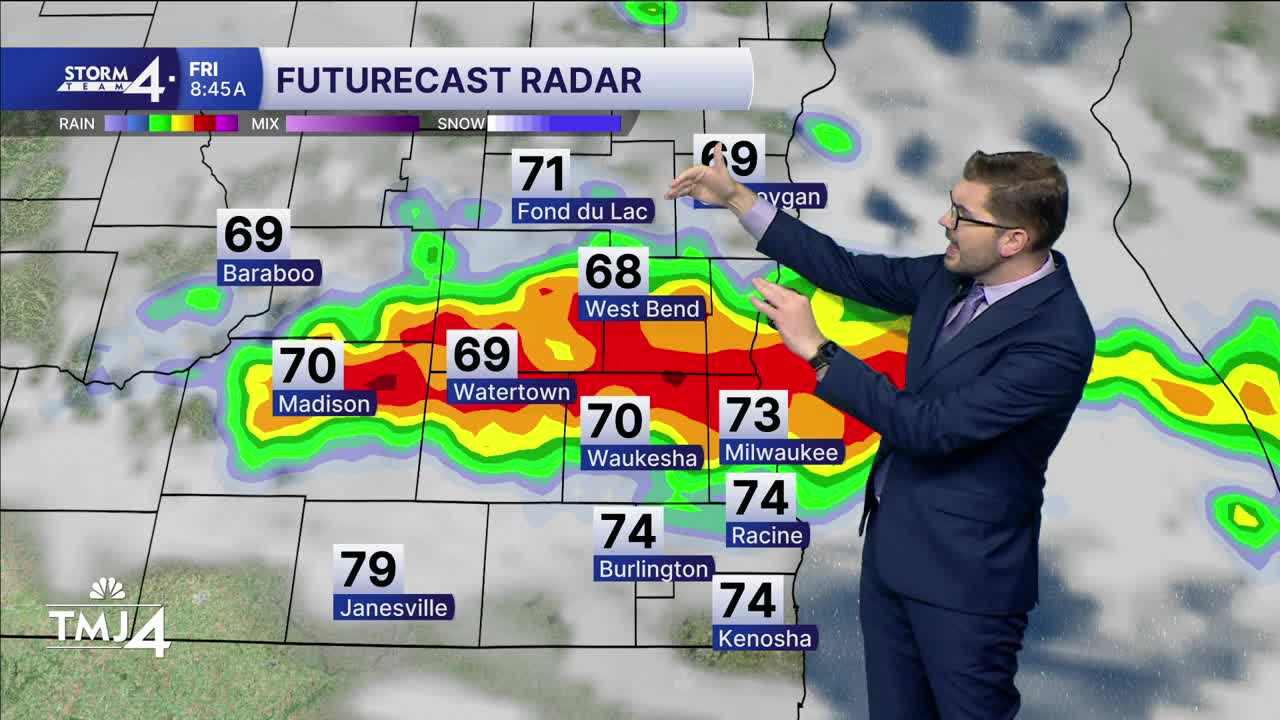


Showers and storms are ongoing across Wisconsin early Friday morning. Strong to severe storms have a history of producing large hail, gusty winds and lots of lightning. These storms have generally been clipping our TMJ4 viewing area (North of I-94). Showers and storms will continue toward daybreak before ending. Much of Friday stays dry with a mix of sunshine/clouds. As a result, highs have been adjusted upward into the upper 80s and lower 90s.
There is a chance for a few isolated storms to pop-up Friday evening.
Overnight lows fall back towards 70-degrees. Some slightly cooler weather is expected for the Labor Day weekend! Highs will range from the upper 70s to lower 80s. Dew points will still remain in the 60s. Labor Day itself is trending dry & sunny with highs in the upper 70s.
The next chance of rain arrives late Tuesday into Wednesday along a frontal boundary.
FRIDAY : Early Showers, then hot and humid.
High: 88
Wind: E/SW 5 mph
TONIGHT: Slight Chance Storms; Mostly Cloudy
Low: 70
Wind: SE->NW 5 mph
SATURDAY: Partly Cloudy & Warm
High: 78
Wind: NE 5-10 mph
SUNDAY: Mostly Sunny and humid.
High: 76
MONDAY: Mostly Sunny
High: 77
TUESDAY: Partly Cloudy; Warmer & Humid; Chance PM Showers/Storms
High: 80
It’s about time to watch on your time. Stream local news and weather 24/7 by searching for “TMJ4” on your device.
Available for download on Roku, Apple TV, Amazon Fire TV, and more.
