

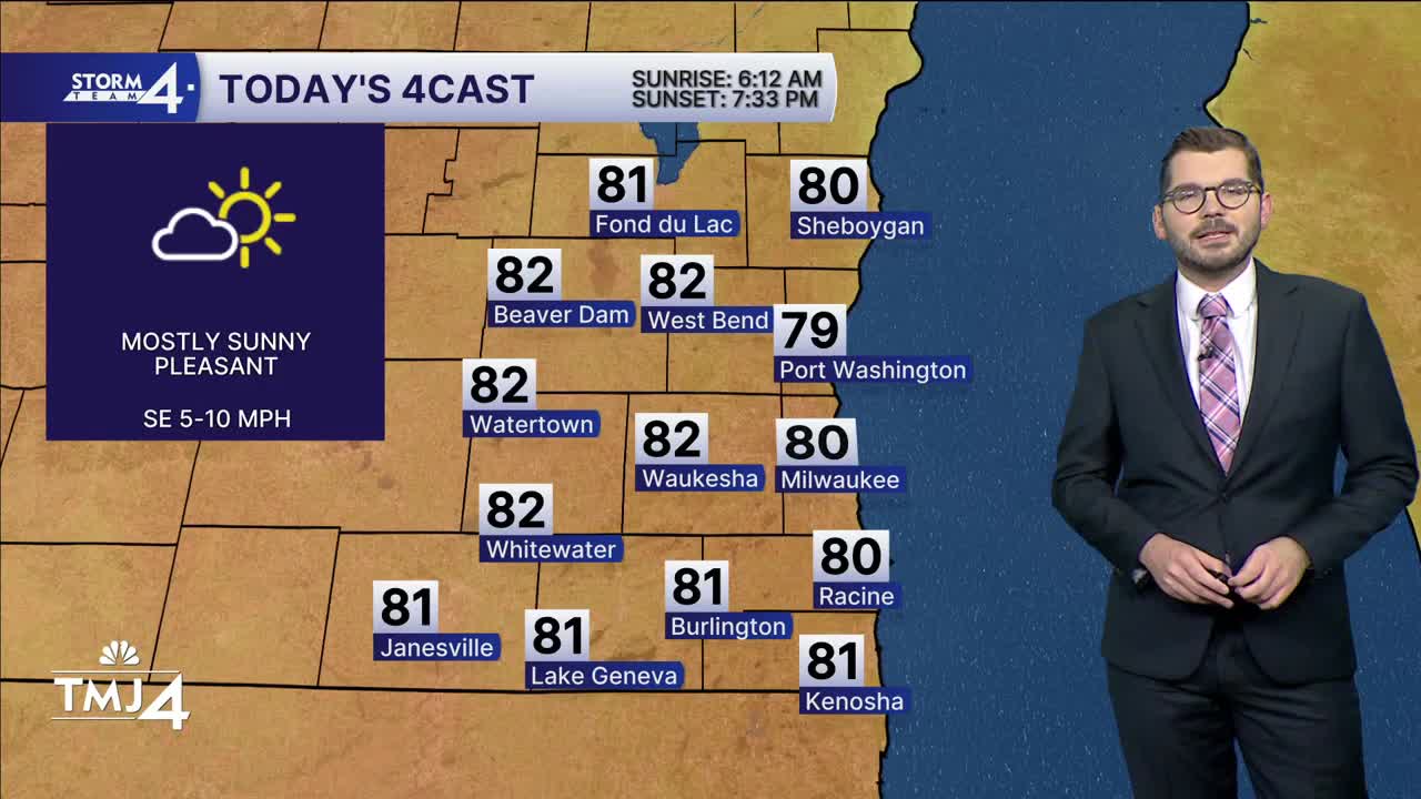


Southeast Wisconsin had great viewing for last night’s lunar eclipse! High-pressure slowly moves East today — keeping the sunshine around with slightly warmer temperatures. Another lake breeze will push inland this afternoon. A spotty sprinkle is possible along it. Highs climb into the upper 70s and lower 80s.
A complex of showers will move in from the central Plains tonight. Most of the rain will not reach southeast Wisconsin until late Saturday afternoon and evening. A few rumbles of thunder are possible with this activity, but severe weather is not expected. Additional chances for showers and storms are expected Sunday into Monday as a frontal boundary settles over the region. Plus, warm air will begin surging into Wisconsin early next week. Highs could reach into the upper 80s - near 90 on Monday with dew points near 70! Summer just isn’t giving up!
FRIDAY: Mostly Sunny
High: 80
Wind: SE 5-10 mph
TONIGHT: Partly Cloudy
Low: 64
Wind: S 5 mph
SATURDAY: Partly Cloudy; Chance PM Showers/Storms
High: 80
SUNDAY: Partly Cloudy and Very Warm; Chance Showers/Storms
High: 85
MONDAY: Partly Cloudy, Very Warm and Humid; Chance Showers/Storms
High: 86
TUESDAY: Slight Chance Shower/Storm; Partly Cloudy
High: 86
It’s about time to watch on your time. Stream local news and weather 24/7 by searching for “TMJ4” on your device.
Available for download on Roku, Apple TV, Amazon Fire TV, and more.
