

Saturday evening will be beautiful for outdoor plans, temperatures near the lake will fall from the 70s into the upper 60s by 10pm. Inland temperatures will be a little warmer through the evening. Overnight lows will only fall into the upper 60s with increasing clouds.
A warm front lifts into Wisconsin overnight. A few spotty showers are possible by early Sunday, with scattered rain and storms developing Sunday afternoon. Heat and humidity will climb Sunday; highs top out in the low 90s and with dew points around 70-degrees, the heat index will range from 95-100°. Be sure to take precautions to stay cool.
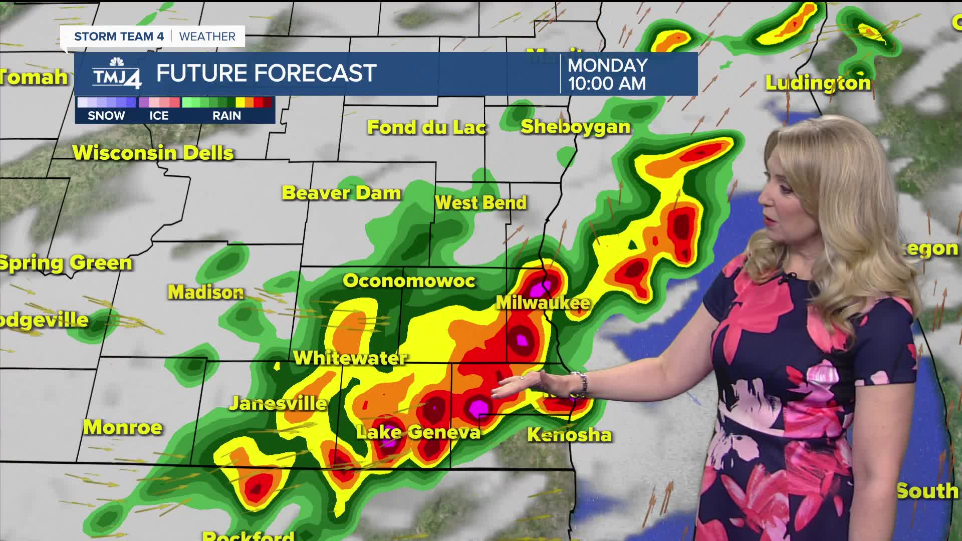
A weak frontal boundary will slowly drop in from the NW late Sunday into Monday. That will bring a continued chance for rain and storms Sunday night and Monday morning, with spotty storms lingering Monday afternoon. Highs will be in the low to mid 80s Monday with continued high humidity.
Humidity comes down a bit for Tuesday and Wednesday with dry conditions and highs in the 80s.
Additional showers/storms are possible Thursday into Friday.
TONIGHT: Partly Cloudy
Low: 68
Wind: S 5-10 mph
SUNDAY: Partly Cloudy, Hot, Humid. Sct. T-Storms
High: 92
Heat Index: 95-100°
Wind: SW 10-15 mph
MONDAY: Mostly Cloudy and Humid. Sct. Showers/Storms
High: 83
TUESDAY: Partly Sunny
High: 83
WEDNESDAY: Partly Sunny
High: 86
THURSDAY: Chance Rain/Storms
High: 80
It’s about time to watch on your time. Stream local news and weather 24/7 by searching for “TMJ4” on your device.
Available for download on Roku, Apple TV, Amazon Fire TV, and more.
