

A few brief snow showers may clip our northern counties early this evening. Little or no snow accumulation is expected, but brief reduced visibility is possible when driving into one of these snow showers.
Skies clear out later this evening, and temperatures drop well into the 20s.
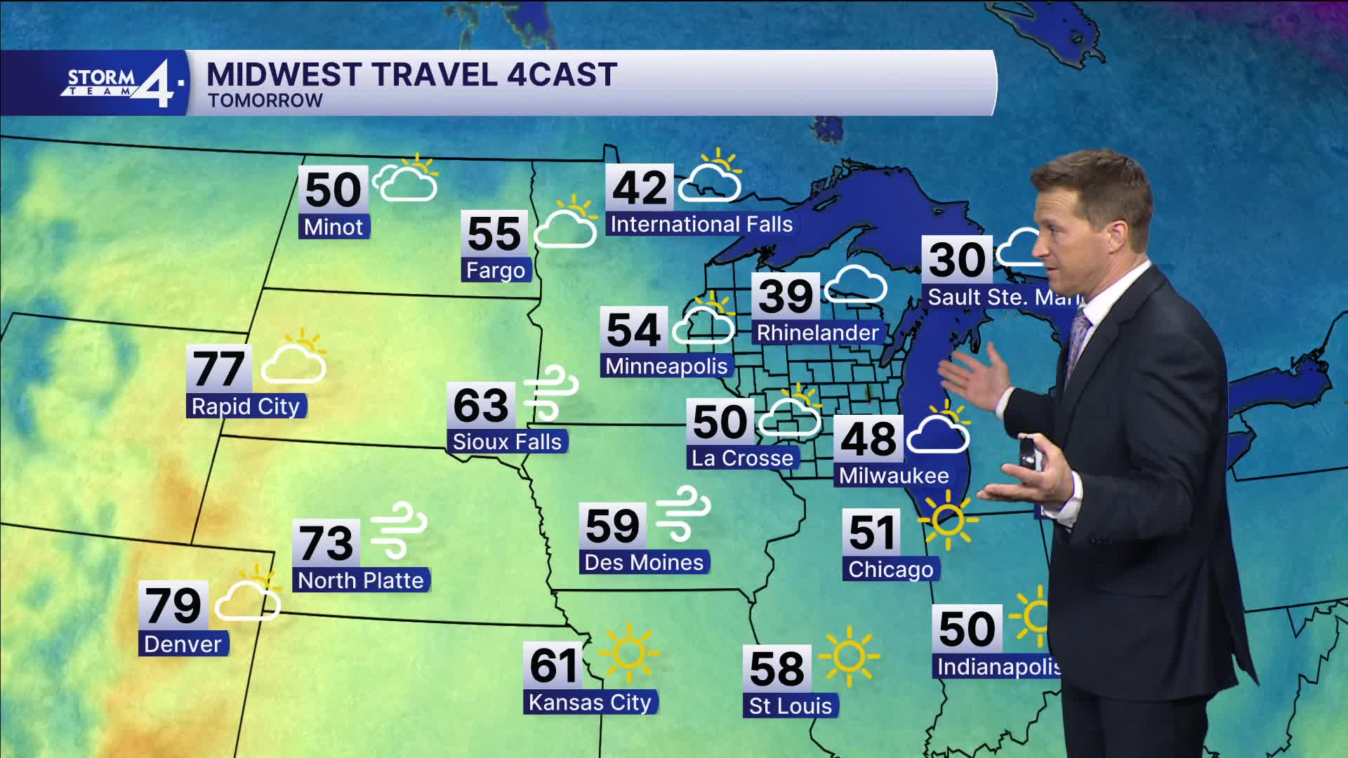
WATCH: When can we expect to see the 60s?
It should be a great weekend to get a start on some spring yardwork.
Sunshine should be in full force on Saturday with highs around 50 degrees.
We likely warm into the 60s on Sunday. This warming trend continues into the first half of next week.
TONIGHT: Becoming Mainly Clear and Cold
Lows: 24
Wind: NW 5-10 mph
SATURDAY: Mostly Sunny
High: 50
Wind: W to S 10 mph
SUNDAY: Partly Cloudy, Breezy, and Mild
High: 64
MONDAY: Partly Cloudy with Slight Ch. Shower Late
High: 68 Lake 74 Inland
TUESDAY: Warm But Showers and Storms Likely
High: 72
It’s about time to watch on your time. Stream local news and weather 24/7 by searching for “TMJ4” on your device.
Available for download on Roku, Apple TV, Amazon Fire TV, and more.
