

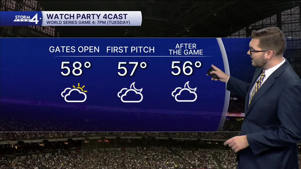


Cloud cover continues to spread over Wisconsin this Tuesday. Overnight lows have fallen into the 50s. There is a slight chance for a few sprinkles today, but most areas will stay dry. Highs climb into the lower 60s. A warm front lifts northward tomorrow — boosting highs well into the 70s. Dry air and a southwest breeze will bring in much more sunshine.
A cold front will then sweep across the state Wednesday night into Thursday. Scattered showers and a few isolated rumbles of thunder are possible. Highs will go from the upper 60s on Thursday to near 60 by Friday. Additional shower chances are back Thursday night and Friday night. Halloween rain chances appear on and off as well as scattered. Better rain chances return on Sunday.
Storm Team 4 is monitoring a potential low-pressure system next week that could bring widespread rain to much of the Midwest Monday & Tuesday.
TUESDAY: Mostly Cloudy; Slight Chance Sprinkle
High: 60
Wind: SE 10 mph
TONIGHT: Partly Cloudy
Low: 52
Wind: SE 5 mph
WEDNESDAY: Warm & Sunny
High: 74
Wind: S 5-10 mph
THURSDAY: Chance Showers; Mostly Cloudy
High: 68
FRIDAY: Partly Cloudy, Cooler; Chance PM Showers
High: 61
SATURDAY: Mostly Cloudy; Chance AM Showers
High: 62
It’s about time to watch on your time. Stream local news and weather 24/7 by searching for “TMJ4” on your device.
Available for download on Roku, Apple TV, Amazon Fire TV, and more.
