

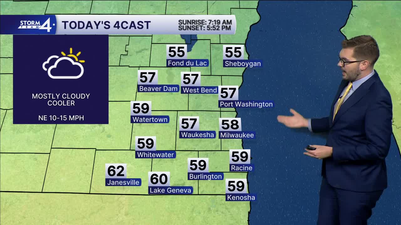


Overnight lows have fallen back into the 40s and 50s. Cloud cover has scattered out across most of Wisconsin and the Great Lakes. A cold front is slowly dropping southward. Northeast winds will pick up this afternoon, keeping highs in the mid- to upper 50s. Much of the same is expected tomorrow as highs approach 60 degrees.
A weakening area of low pressure will swing across the north-central Plains Tuesday into Wednesday. A warm front is expected to lift northward on Wednesday. Highs will jump from the 60s to near 70 toward mid-week. Scattered showers are expected Wednesday into Thursday. Cooler conditions take hold for the weekend with on and off shower chances.
MONDAY: Mostly Cloudy, Breezy
High: 58
Winds: NE 10-15 mph
TONIGHT: Mostly Cloudy
Low: 48
Wind: NE 10-15 mph
TUESDAY: Partly Cloudy
High: 61
WEDNESDAY: Partly Cloudy; Slight Ch. Showers
High: 68
THURSDAY: Chance Showers; Mostly Cloudy
High: 70
FRIDAY: Partly Cloudy; Slight Ch. Showers
High: 64
It’s about time to watch on your time. Stream local news and weather 24/7 by searching for “TMJ4” on your device.
Available for download on Roku, Apple TV, Amazon Fire TV, and more.
