

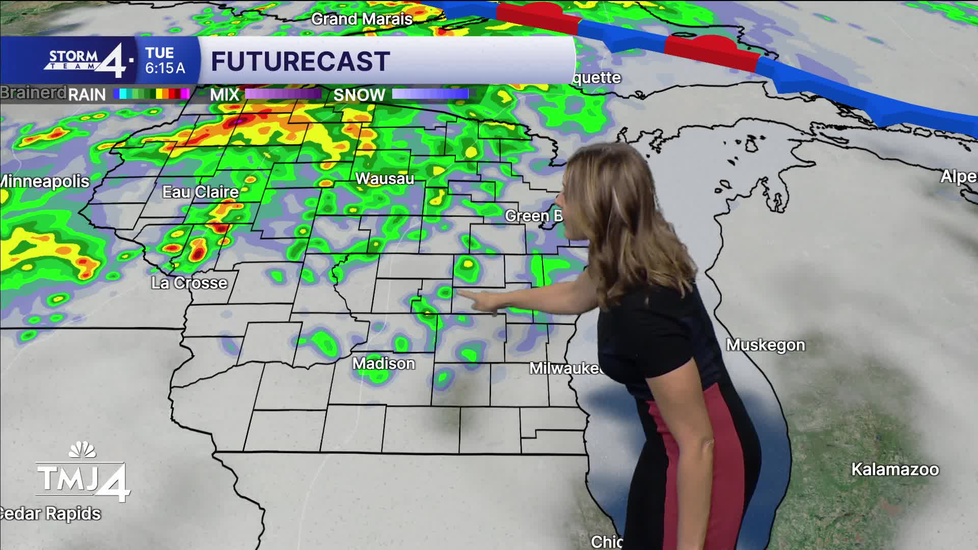


Clouds will be increasing overnight ahead of a weather system that will bring rain back to our area starting Tuesday mid morning. Lows in the upper 60s.
Rain chances increase Tuesday for north and central Wisconsin in the morning. SE Wisconsin will just be cloudy at this time with increasing dewpoints. By the evening and overnight, the showers start to move in our direction. This activity will likely continue overnight in rounds with no real severe threat expected. Highs reach 80. Lows in the low 70s.
Wednesday features morning showers and a few thunderstorms with lightning and downpours possible. Some storms could get an uptick and bring gusty winds. Gradual clearing through the day with highs in the low 80s and high dews.
The end of the work week features lower dews and sunny skies.
TONIGHT: Increasing clouds and humidity.
Low: 66
Wind: SE 5-10
TUESDAY: Showers north in the morning, then evening rain chances increase.
High: 80
Wind: SSE 10-15
WEDNESDAY: Early shower and storm chances. Then humid.
High: 82
Wind: WSW 10-15
THURSDAY: Clearing skies. Less humid.
High: 75
Wind: NW 5-10
FRIDAY: Partly cloudy, showers increase overnight.
High: 82
Wind: SW 10-15
SATURDAY: Mostly sunny. Sl chance.
High: 80
Wind: W 5-10
SUNDAY: Partly cloudy, chance of showers.
High: 77
Wind: NW 10-15
It’s about time to watch on your time. Stream local news and weather 24/7 by searching for “TMJ4” on your device.
Available for download on Roku, Apple TV, Amazon Fire TV, and more.
