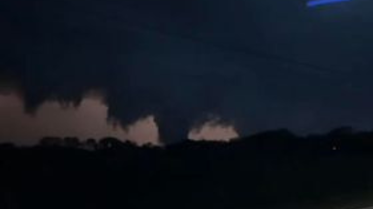
Round three of tornado warnings and strong storms rumbled through southeast wisconsin Tuesday night.
The National Weather Service confirmed an EF-0 tornado with estimated winds of 80mph hit southern Walworth County from east of Sharon to west of Walworth.
Confirmed tornados in Walworth County

NWS confirmed another tornado, just south of Darien. That one was an EF-1 with estimated winds of 90mph.

Dark clouds lowered near the ground across parts of Jefferson, Walworth, and Waukesha counties.
Viewers sent in several videos into the newsroom showing what looked to be funnel clouds.

Those storms were also packed with strong wind, rain, hail, and quite a bit of lightning.

A viewer sent in security camera footage, showing the moments lightning struck a tree in their front yard.
The storms also knocked out the power of more than 10 thousand We Energies customers by 10 p.m. on Tuesday. Most of those outages were in Menomonee Falls, Fort Atkinson, and Franklin.
It’s about time to watch on your time. Stream local news and weather 24/7 by searching for “TMJ4” on your device.
Available for download on Roku, Apple TV, Amazon Fire TV, and more.


